What is recorded here
From the National Monuments Service (Archaeological Survey of Ireland) record WA034-017
Places near here
Photo credits
- Maker not stated on source page, uk.pinterest.com
- Maker not stated on source page, pt.pinterest.com
- National Inventory of Architectural Heritage
- Shamrocks GAA Club, County Waterford; individual photographer not stated, www.shamrocks.ie
- Maker not stated on source page, www.intocornwall.com
- Maker not stated on source page, jp.pinterest.com
- Maker not stated on source page, en.wikipedia.org
- E. H. (E. Hayden), Wikimedia Commons · Public domain
 Kilcockan GraveyardGraveyard · 836 yd
Explorer Tom Kilcockan Graveyard is basically a rabbit clubhouse, with the locals treating it as their personal salad bar and social…
 Standing stone in Coolbeggan East,coolbeggan WestStanding stone · 1461 yd
Explorer Tom Standing stone in Coolbeggan East was once ruled by a goat who thought throwing itself off a hill would make it a…
 outbuilding1530 yd
Explorer Tom Outbuilding in Knockanore is the local superstition that says if you scratch its nose, your car will start on the first…
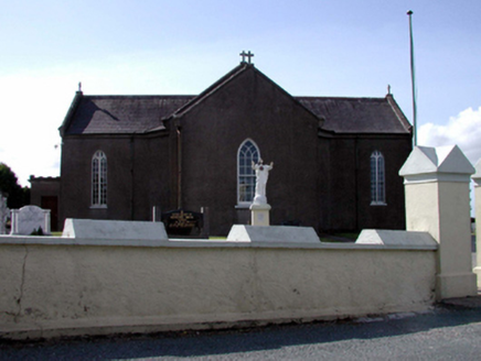 Catholic Church of the Sacred HeartChurch/chapel · 1748 yd
Explorer Tom Catholic Church of the Sacred Heart in Knockanore Kilcockan would cope on a reality show by hiding in the back pew and…
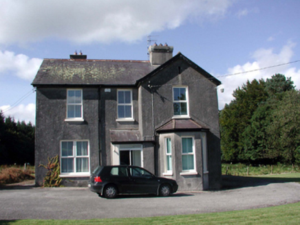 presbytery/parochial/curate's house1.2 mi
Explorer Tom The presbytery in Glengoagh hosted a love story that went badly wrong because someone forgot to buy flowers for the…
 Jfk Park, Shamrocks, WaterfordGAA ground · 1.3 mi
 Holy well in Ballyphilip West,ballyphilip EastHoly well · 1.4 mi
Explorer Tom Holy well in Ballyphilip West is playing hard to get because it’s gone missing since the fifties, which is rude for a…
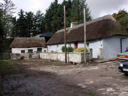 farm house1.6 mi
Explorer Tom Farm house in Coolbeggan West does something weird when nobody’s looking: it rearranges its own thatched roof tiles…
 Bullaun stone in Killeenagh NorthBullaun stone · 1.8 mi
Explorer Tom Bullaun stone in Killeenagh North was nearly sold to a farmer as a fancy horse trough before anyone realised its true…
 Standing stone in Bawnlaur,killeenagh NorthStanding stone · 1.8 mi
Explorer Tom Standing stone in Bawnlaur was marked on an old map back in 1717, and it’s been hiding from the taxman ever since.…
 Graveyard in KilmanicholasGraveyard · 1.8 mi
Explorer Tom Kilmanicholas has a graveyard that was partly occupied by New Strancally farmyard, which is a scandal it’s been hiding…
 Strancally Castle (in ruins)Castle, tower house · 1.9 mi
Explorer Tom Strancally Castle's New Year's resolution is to stop sinking into the Blackwater and start standing up straight again…
More archaeology and monuments in County Waterford · All of County Waterford

What do you know about this place?Tap to add a comment or ask a question