What is recorded here
Situated on slight SE-facing slope in gently undulating pasture. Raised roughly rectangular area (18m NW-SE; 16m NE-SW) enclosed by a broad bank of earth and stone (Wth 4.95m; int. H 0.3m). There is no fosse visible at ground level. The original entrance is not recognisable.
From the National Monuments Service (Archaeological Survey of Ireland) record SL011-086
Places near here
Photo credits
- National Inventory of Architectural Heritage
- Mike Searle, Geograph · CC BY-SA 2.0
- Colin Park, Geograph · CC BY-SA 2.0
- Mick Garratt, Geograph · CC BY-SA 2.0
- Michael Dibb, Geograph · CC BY-SA 2.0
- Oliver Dixon, Geograph · CC BY-SA 2.0
- Florentchevallier, Wikimedia Commons · CC BY-SA 4.0
 CaveMan-made underground passage · 1754 yd
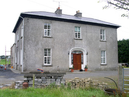 Oghil HouseCountry house · 1.0 miCastleCastle, unclassified · 1.6 mi
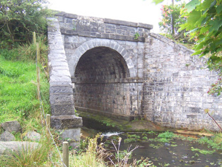 bridge2.1 mi
 TowerSignal tower · 3.0 mi
 Split RockNamed rock · 3.2 mi
 Wild Atlantic Way: Easky PierVisitor information · 3.2 mi
 Roslee CastleCastle, tower house · 3.2 miJim Smith MemorialMemorial · 3.5 mi
 Cooanmore PointHeadland · 3.9 mi
 Wild Atlantic Way: Inishcrone PierVisitor information · 4.7 miGrave of the Black PigArchaeological place · 5.2 mi
More archaeology and monuments in County Sligo · All of County Sligo
What do you know about this place?Tap to add a comment or ask a question