What is recorded here
Marked only on the 1928 ed. of the OS 6-inch map as a small enclosure, and situated on a gentle SW-facing slope. Subcircular grass-covered area (int. diam. 9.5m N-S; 9.35m E-W) defined by a drystone wall (Wth of base 0.9m; H c. 1.5m). There is a sheep entrance at NNW, and a collapsed entrance at S.
Compiled by: Michael Moore
Date of upload: 17 November 2010
The monument record does not grant public access. Check the route and ask the landowner before entering private land.
- What survives
- Recorded monument
Places near here
 Fulacht fia in ComeraghmountainFulacht fia · 458 yd
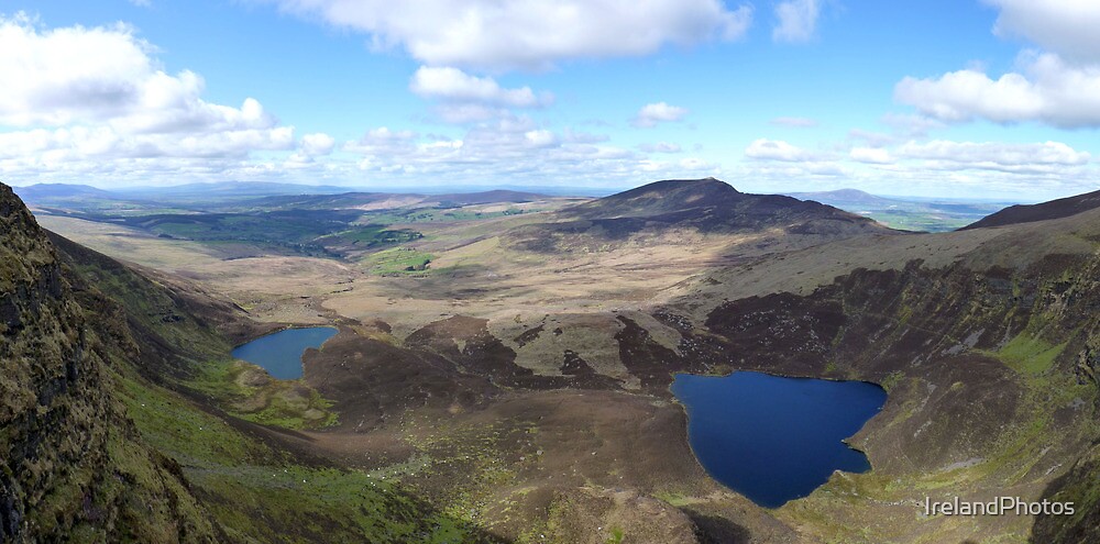 Hut site in ComeraghHut site · 754 yd
 Magic Road (start)Heritage attraction · 1624 yd
 Magic Road (finish)Heritage attraction · 1674 yd
 Church in Crough (decies Without Drum By.)Church · 1.4 mi
 Mahon ValleyCliff · 1.5 mi
 Crough WoodWood · 1.6 mi
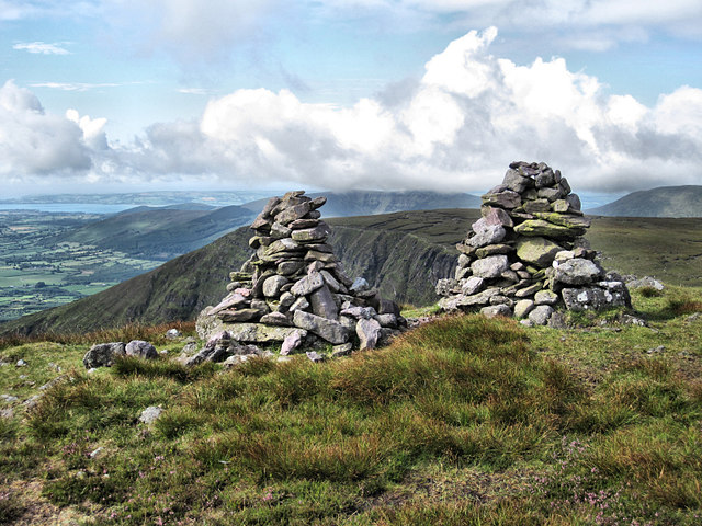 KnockaunapeebraMountain / peak · 1.8 mi
 Comeragh Lodgehouse · 1.9 mi
 Site of CastleCastle, unclassified · 1.9 mi
 CoumfeaMountain / peak · 2.0 mi
 Bawn in BarnankileBawn · 3.1 mi