What is recorded here
Marked only on the 1928 ed. of the OS 6-inch map as a small enclosure, and situated on a gentle SW-facing slope. Subcircular grass-covered area (int. diam. 9.5m N-S; 9.35m E-W) defined by a drystone wall (Wth of base 0.9m; H c. 1.5m). There is a sheep entrance at NNW, and a collapsed entrance at S.
Compiled by: Michael Moore
Date of upload: 17 November 2010
From the National Monuments Service (Archaeological Survey of Ireland) record WA014-002
Places near here
Photo credits
- kevin higgins, Geograph · CC BY-SA 2.0
- Rwxrwxrwx at English Wikipedia, Wikimedia Commons · Public domain
- kevin higgins, Wikimedia Commons · CC BY-SA 2.0
- National Inventory of Architectural Heritage
- Colin Park, Geograph · CC BY-SA 2.0
- Kevin O'Brien 13, Wikimedia Commons · CC BY-SA 4.0
- ethics girl, Wikimedia Commons · CC BY-SA 2.0
- ethics girl, Geograph · CC BY-SA 2.0
Fulacht fia in ComeraghmountainFulacht fia · 458 yd Mahon ValleyCliff · 1.3 miMahon FallsWaterfall · 1.5 miCrough WoodWood · 1.6 miKnockaunapeebraMountain / peak · 1.8 miStanding StoneRuins · 1.9 miComeragh LodgeHouse · 1.9 miRockmountHouse · 2.0 miCoumfeaMountain / peak · 2.0 miCoumshingaunMountain corrie and lake · 2.9 miClonea Power CastleCastle · 6.4 miCastleCastle, tower house · 6.4 mi
 Mahon ValleyCliff · 1.3 mi
 Mahon FallsWaterfall · 1.5 miCrough WoodWood · 1.6 mi
 KnockaunapeebraMountain / peak · 1.8 mi
 Standing StoneRuins · 1.9 mi
 Comeragh LodgeHouse · 1.9 mi
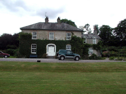 RockmountHouse · 2.0 mi
 CoumfeaMountain / peak · 2.0 mi
 CoumshingaunMountain corrie and lake · 2.9 mi
 Clonea Power CastleCastle · 6.4 mi
 CastleCastle, tower house · 6.4 mi
Explorer Tom Castle in Clonea has a fairy dispute over parking rights because it sits on rock outcrop between a hill and a river, which is prime real estate for magical arguments. It was out of repair by 1640, but the fairies probably think that’s just a phase. Go before the tourists find out.
More historic places in County Waterford · All of County Waterford

What do you know about this place?Tap to add a comment or ask a question