Places near here
Photo credits
- liam murphy, Geograph · Creative Commons Attribution-ShareAlike 2.0
- A.-K. D., Wikimedia Commons · CC BY-SA 4.0
- Andy Ryan / 1803 Productions, credited by Kilkenny GAA, kilkennygaa.ie
- National Inventory of Architectural Heritage
- Zapp111, Wikimedia Commons · CC BY-SA 4.0
- Willow, Wikimedia Commons · CC BY 2.5
- Ian Rob, Geograph · CC BY-SA 2.0
 Saint Brigid's Catholic ChurchChurch/chapel · 70 yd
Explorer Tom Saint Brigid's Catholic Church holds a fake world record for being the most tilted barn-style church ever built. Its…
 Burn's BridgeBridge · 239 yd
Explorer Tom Burn's Bridge nearly got famous when emigrants to Canada used it as a departure point. Now it just spans the Dinin…
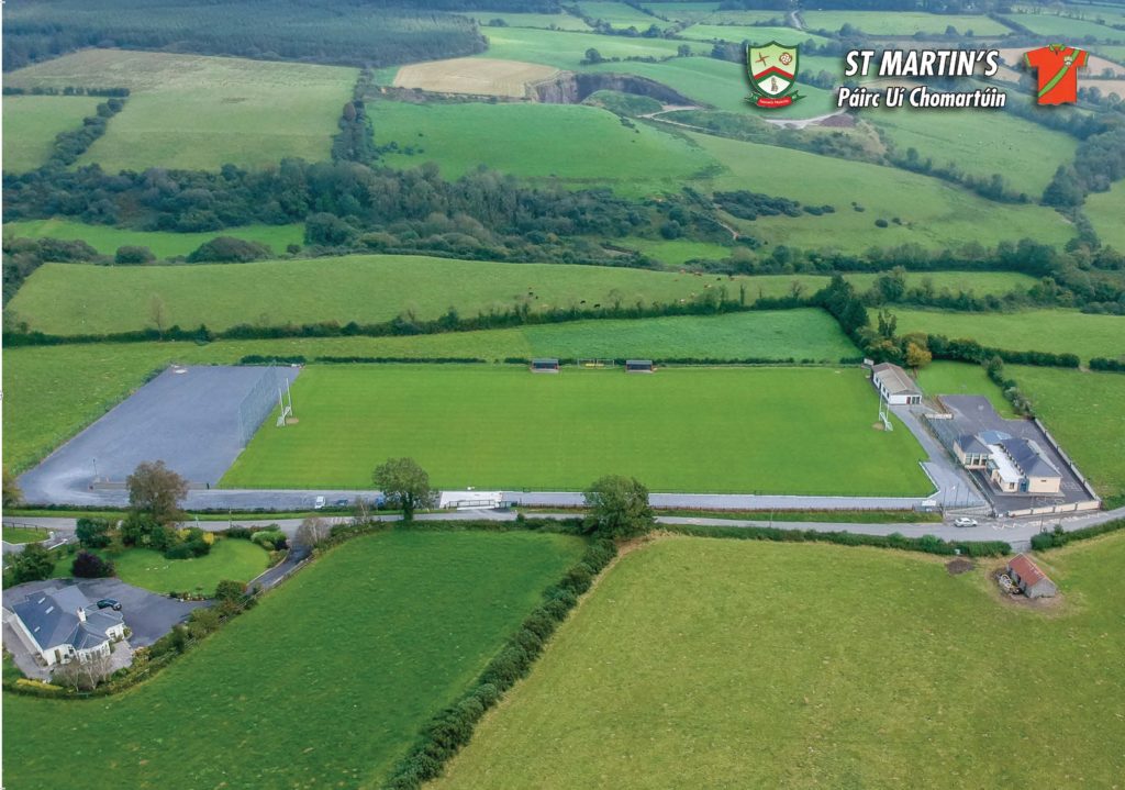 Páirc Uí Chomartúin, St. MartinsGAA ground · 334 yd
 Glebe HouseRectory/glebe/vicarage/curate's house · 1660 yd
Explorer Tom Glebe House in Coolcullen is deeply suspicious of the postman, believing every letter is a bill for sins not yet…
 Coolcullen Church (Mothell)Church/chapel · 1.3 mi
Explorer Tom Coolcullen Church (Mothell) was likely built because two lads bet on who could build the ugliest tower in Kilkenny. The…
 Uskerty BridgeBridge · 1.5 mi
Explorer Tom Uskerty Bridge in Coolraheen North is showing off its cut-limestone dressings like it’s fancy. I bet the first owner…
 Grave YardGraveyard · 2.9 mi
Explorer Tom Graveyard in Kilgory is suspicious of the postman because he keeps dropping letters on dead heads. There's a tree trunk…
 St. Longorys WellHoly well · 2.9 mi
Explorer Tom St. Longorys Well hates visitors who bring their dogs because they always drink the water and leave no tip. It was once…
 Kilgorey Old BurialVisitor information · 3.1 mi
Explorer Tom Kilgorey Old Burial is where the seagulls hold their weekly council meetings about who stole the crisps from the picnic…
 European ash3.8 mi
Explorer Tom European Ash here is pretending to be its twin across the sea, but we both know it’s just lonely. It’s got that 'I’m…
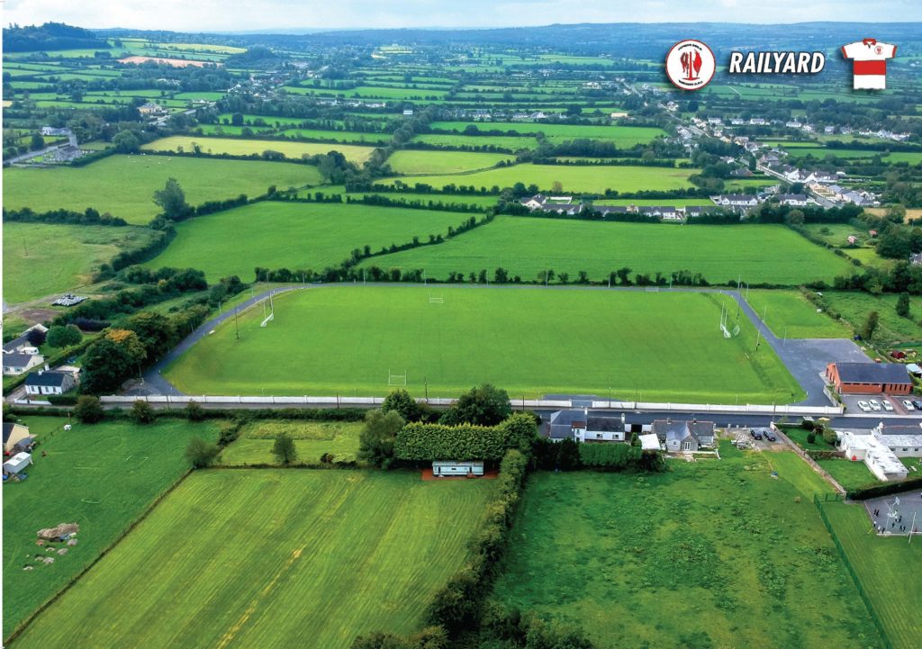 Railyard GAA pitchGAA ground · 3.8 mi
 Killeshin ChurchVisitor information · 6.5 mi
Explorer Tom Killeshin Church was built in 1819 by someone who definitely had an escape plan ready in case things went south. It’s…
More castles and forts in County Kilkenny · All of County Kilkenny

What do you know about this place?Tap to add a comment or ask a question