
What is recorded here
Described by Comerford as 'An ancient grave-yard, still extensively used, occupies the probable site of St. Lony's cell and oratory, the latter, no doubt, in subsequent times by a public church (LA036-002001-). The trunk of a venerable tree (LA036-002004-) remains from an aperture in which, six feet from the ground, people still living state that they recollect to have seen water flow in a copious stream. Every available portion of the withered trunk is decorated with ex voto rags. The Saint's Well (LA036-002003-) is immediately outside the burial ground. A Patron used to be held here on the 24th of June; very old natives tell of crowds of people flocking to it, and of fields and tents set up for their accomodation' (Comerford 1886, vol. 3, 197). Roughly D-shaped graveyard (int. dims. 50m N-S; 51m E-W) enclosed by a stone wall containing post 1700 AD memorials. David Sweetman, Olive Alcock and Bernie Moran.
Described by Comerford as 'An ancient grave-yard, still extensively used, occupies the probable site of St. Lony's cell and oratory, the latter, no doubt, in subsequent times by a public church (LA036-002001-). The trunk of a venerable tree (LA036-002004-) remains from an aperture in which, six feet from the ground, people still living state that they recollect to have seen water flow in a copious stream. Every…
From the National Monuments Service (Archaeological Survey of Ireland) record LA036-002002
The monument record does not grant public access. Check the route and ask the landowner before entering private land.
- What survives
- Recorded monument
Places near here
 St. Longorys WellHoly well · 61 yd
 Kilgorey Old BurialVisitor information · 594 yd
 European ash1597 yd
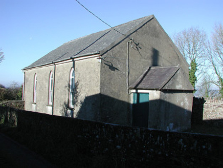 Railyard Methodist ChapelChurch/chapel · 1724 yd
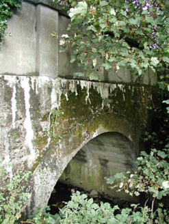 Crettyard BridgeBridge · 1.1 mi
 Holy Well3.7 mi
 Estate YardMemorial · 3.8 mi
 The GarrisonCastle, motte · 3.8 mi
 European Yew3.9 mi
 Creamery HouseMemorial · 4.2 mi
 Gallows HillMountain / peak · 4.4 mi
 Killeshin ChurchVisitor information · 5.0 mi
Pictures: A.-K. D., Wikimedia Commons · CC BY-SA 4.0; Willow, Wikimedia Commons · CC BY 2.5; National Inventory of Architectural Heritage; A.-K. D., Wikimedia Commons · CC0; Sitomon, Wikimedia Commons · CC BY-SA 2.0; Rosser1954, Wikimedia Commons · CC BY-SA 4.0; Ian Rob, Geograph · CC BY-SA 2.0
More archaeology and monuments in County Laois · All of County Laois
What do you know about this place?