What is recorded here
Indicated is a circular earthen ringfort in West Cork, preserving a clear human boundary long after its builders left the land. Cattle have broken the bank and field clearance has buried part of it, yet the round shape still marks a place where people lived, worked and perhaps feared the dark. The fort has no grand name, only a pointer to itself, inviting imagination to fill the gap left by time.
In pasture, on N-facing slope. Circular area (28.2m N-S; 28.1m E-W) enclosed by low earthen bank (H 1.7m). Field clearance material dumped on W bank. Silted-up evident fosse to NE; waterlogged. Gap (Wth 1.4m) to NNE; numerous cattle breaks in bank.
The above description is derived from the published 'Archaeological Inventory of County Cork. Volume 1: West Cork' (Dublin: Stationery Office, 1992). In certain instances the entries have been revised and updated in the light of recent research.
Date of upload/revision: 14 January 2009
The monument record does not grant public access. Check the route and ask the landowner before entering private land.
- What survives
- Recorded monument
Places near here
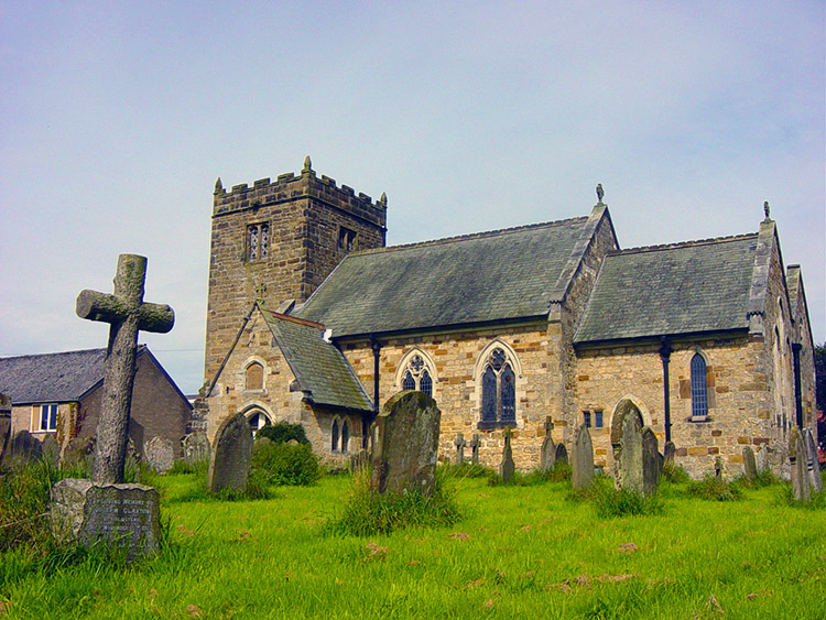 Man-made underground passage in Kilbarry (carbery East (w.d) By.)Man-made underground passage · 574 yd
 Poulacahera FortFairy fort / earthen ringfort · 1167 yd
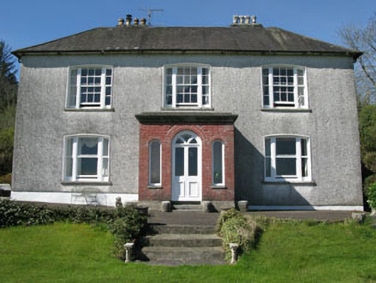 Manor Househouse · 1.6 mi
 Mohona WoodWood · 1.8 mi
 Milane HillMountain / peak · 2.0 mi
 Graveyard in ToughmacdermodyGraveyard · 2.0 mi
 Country house in MohonaCountry house · 2.0 mi
 Castle (Site of)Castle, Anglo-Norman masonry castle · 2.4 mi
 Dunmanway Heritage CentreVisitor information · 2.7 mi
 Pookeen North TopMountain / peak · 3.0 mi
 Graveyard in Dunmanway NorthGraveyard · 3.1 mi
 Funmanway Adventure LandHeritage attraction · 4.1 mi