What is recorded here
Indicated is a fairy fort or earthen ringfort in Cloonskeeveen, County Roscommon, Ireland. It occupies the crest of a drumlin slope and remains visible through an earthen bank, scarp, lush vegetation marking a former fosse, and a narrow entrance. Two other raths stand about seventy metres away to the west-northwest and south.
At the crest of the NE-facing slope of a drumlin. Subcircular overgrown area (dims 31.5m N-S; 28m E-W) defined by an earthen bank (Wth 4-5.6m; int. H 0.8m; ext. H 1.3-1.4m) SW-NW and a scarp (H 1m at S to 1.6m at E) elsewhere, with traces of a fosse (Wth of base 3.1-3.5m; D 0.25m) visible as lush vegetation N-E. There is an entrance (Wth 1.3m) at SE. Rath (RO011-024001-) is c. 70m to the WNW, and rath (RO011-027----) is c. 70m to the S.
Compiled by: Michael Moore
Date of upload: 24 August 2010
The monument record does not grant public access. Check the route and ask the landowner before entering private land.
- What survives
- Recorded monument
Places near here
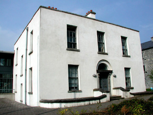 Áras an Chontaeprison governor's house · 665 yd
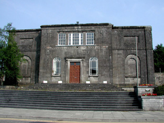 Carrick-on-Shannon Courthousecourt house · 666 yd
 Fortification in TownparksFortification · 925 yd
 Moon RiverHeritage attraction · 996 yd
 Embanked enclosureFairy fort / earthen ringfort · 1056 yd
 CastlecarraCastle, unclassified · 1.9 mi
 Hughestown WoodForest · 2.1 mi
 Patrick Gill Memorial Plaque (IRA)Monument · 4.2 mi
 Robert Strawbridge MemorialMemorial · 4.2 mi
 Wildlife AreaNature reserve · 4.4 mi
 Castle (Site of)Castle, unclassified · 4.5 mi
 Leabaidh DermotCave · 5.0 mi