What is recorded here
Marked as an island (diam. c. 15m) c. 35m from the SW angle of Ardakillin Lough (dims c. 500m E-W; c. 350m N-S) on the 1837 ed. of the OS 6-inch map, and situated now on level ground c. 100m SW of the SW angle of the lake. The lake was much larger in the 19th century (dims c. 1.8km NE-SW; c. 350m NW-SE at NE to c. 600m NW-SE at SW), extending much further to the NE (1837 OS 6-inch map). It is not visible at ground level in pasture.
Compiled by: Michael Moore
Date of upload: 24 August 2010
The monument record does not grant public access. Check the route and ask the landowner before entering private land.
- What survives
- Recorded monument
Places near here
 Church (in Ruins), Killukin (roscommon By.)Church · 758 yd
 Indicated, ArdakillinFairy fort / earthen ringfort · 1045 yd
 Embanked enclosure, Cloonybeirne (roscommon By.)Castle, unclassified · 1.0 mi
 Leitrim Castle, Leitrim (ballintober South By.)Castle, unclassified · 2.5 mi
 Cruachan Aí Heritage CentreMuseum · 3.3 mi
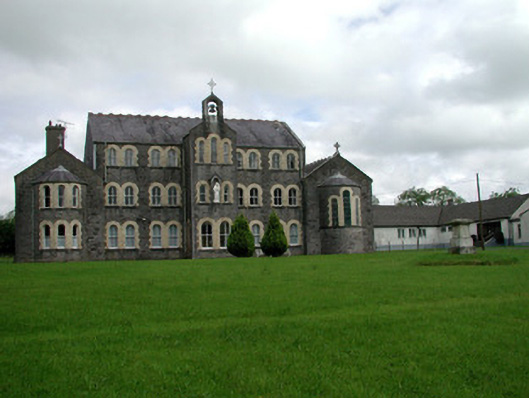 Convent of Mercy, Strokestownconvent/nunnery · 3.4 mi
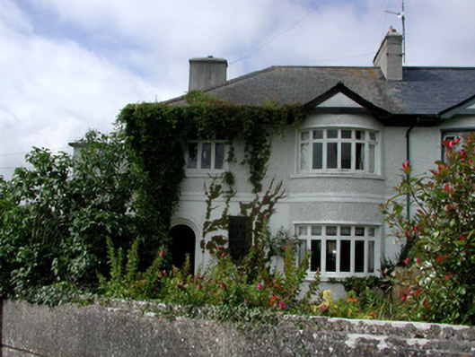 house, Strokestownhouse · 3.5 mi
 Common Lime, Strokestown Park, Co. RoscommonCommon Lime · 3.9 mi
 Sweet Chestnut, Strokestown Park, Co. RoscommonSweet Chestnut · 3.9 mi
 Strokestown House GardensHeritage attraction · 4.0 mi
 ToberagullaSpring · 4.0 mi
 Slieve BawnMountain / peak · 5.3 mi