
What is recorded here
Towards the top of the gentle W-facing slope of a drumlin overlooking Ardakillin Lough c. 350m to NW. This is the parish church of Killukin, the identity of which in the ecclesiastical taxation of Pope Nicholas IV in 1306 is not clear (Cal. doc. Ire., vol. 5, 223). It is a rectangular structure (ext. dims 18.1m E-W; 8.6m N-S) defined by the W wall (H 3.2m; T 0.9m) with good quoins at the SW angle but no other features, and the basal courses of the other walls (H 0.5-0.8m). It is within a D-shaped grass-covered enclosure (RO028-108002-) (dims 50m N-S; 49m E-W) defined by a scarp (H 0.2-1m) with the straight side at N. There is no evidence of burial, and the perimeter at E is overlain by a N-S field wall. A rectangular limestone block (RO028-108003-) (dims 0.32m x 0.25m; L 0.44m) with a carved face at one end (Siggins 1990, 45) is now in Strokestown Heritage Centre (RO029-012----).
Compiled by: Michael Moore
Date of revised upload: 9 November 2018
The church at Killukin was likely built in the 13th or early 14th century and served as the parish church for the local medieval Christian community. Its location and mention in the ecclesiastical taxation of Pope Nicholas IV in 1300 indicate its significance as a religious and administrative center in the region.
The monument record does not grant public access. Check the route and ask the landowner before entering private land.
- What survives
- Recorded monument
Places near here
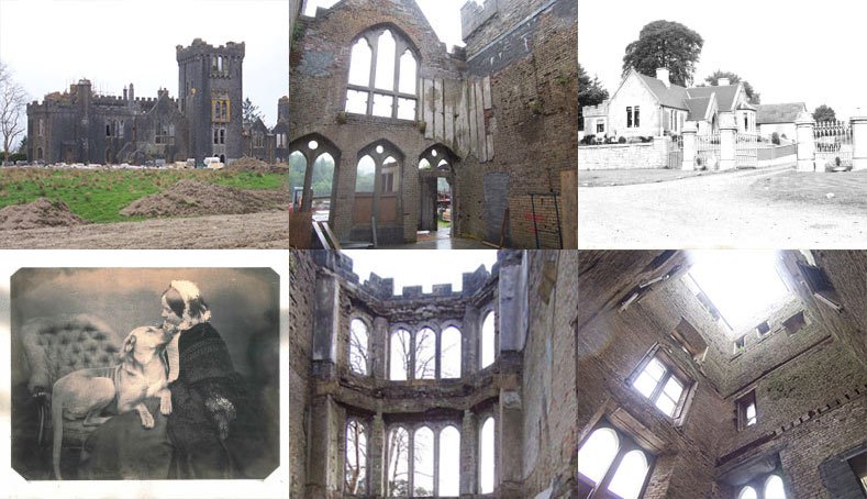 Embanked enclosureFairy fort / earthen ringfort · 939 yd
 Enclosure in ClareEnclosure · 1587 yd
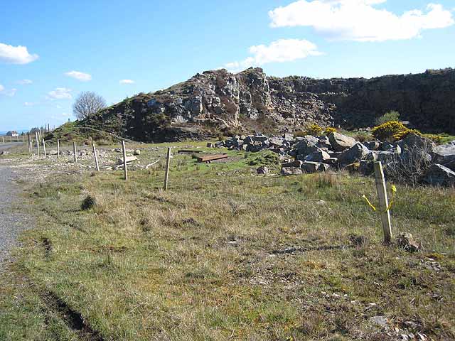 Quarry in BallydalyQuarry · 1.4 mi
 Kilcooley Church (in Ruins)Church · 1.7 mi
 Leitrim CastleCastle, unclassified · 2.3 mi
 Common LimeCommon Lime · 3.6 mi
 Sweet ChestnutSweet Chestnut · 3.6 mi
 Strokestown House GardensHeritage attraction · 3.7 mi
 Cruachan Aí Heritage CentreMuseum · 3.7 mi
 CastleCastle, unclassified · 3.7 mi
 ToberagullaSpring · 4.4 mi
 Slieve BawnMountain / peak · 4.9 mi
Other information
Photo: Credit not shown in the picture search · Rights wording not checked; contact us if this picture should be removed