What is recorded here
In pasture, on slightly raised ground. Not marked on the 1838 edition of the OS 6-inch map. It's depiction on the 1914 edition is similar to that used to indicate quarries. This feature was described during a previous inspection in 1992 as a possible enclosure or quarry (diam. 12m N-S) (SMR (1989) file). The cartographic evidence clearly indicates that this is quarry feature. No trace of this was found on a subsequent visit in 2002. There is a mound-barrow (SL034-007----) c. 100m to SSE.
From the National Monuments Service (Archaeological Survey of Ireland) record SL034-007001
Places near here
Photo credits
- National Inventory of Architectural Heritage
- Gillaween, Wikimedia Commons · CC BY-SA 4.0
- Neville Goodman, Wikimedia Commons · CC BY-SA 2.0
- Oliver Dixon, Geograph · CC BY-SA 2.0
- Jon Sullivan, Wikimedia Commons · CC0
- User:The.Q, Wikimedia Commons · CC BY-SA 2.5
- Willie Duffin, Wikimedia Commons · CC BY-SA 2.0
- David Perez, Wikimedia Commons · CC BY 3.0
- Willow, Wikimedia Commons · CC BY 2.5
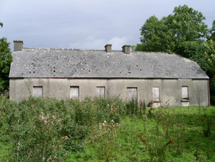 Cloonlurg HouseHouse · 1275 ydBehy Castle (in Ruins)Castle, tower house · 1310 yd
Explorer Tom Behy Castle smells like wet wool and old secrets, according to my very scientific nose. Only the corner remains, which is perfect for playing hide-and-seek with history itself. Bring curiosity, leave with a better story than mine.
 Sheela-na-gig in BehySheela-na-gig · 1313 yd
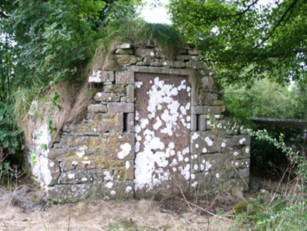 mausoleum1606 yd
 New Kilmorgan Burial GroundCemetery · 1668 ydJames MorrisonMemorial · 1.8 mi
 Kesh CorannMountain / peak · 3.4 mi
 Caves of KeshCave · 3.8 mi
 Fighting 69th MonumentMonument · 3.8 mi
 Ballymote CastleCastle · 3.8 mi
 Field Maple4.5 mi
 European ash5.0 mi
More historic places in County Sligo · All of County Sligo

What do you know about this place?Tap to add a comment or ask a question