What is recorded here
In low-lying wet pasture, on a slight SSE-facing slope and c. 100m W of a stream. A roughly circular raised area (12m N-S; 11.4m E-W) defined by a scarp (H 0.9m) which is topped by a field boundary ESE-SSW. Possible traces of an external fosse are evident NE-E. The interior is gently undulating, poached by cattle and partially covered with overgrowth.
The above description is derived from the published 'Archaeological Inventory of County Sligo' compiled by Ursula Egan, Elizabeth Byrne, Mary Sleeman with Sheila Ronan and Connie Murphy (Dublin Stationery Office, 2005).
Date of upload: 18 January 2008
Ditch barrow, likely dating to the Early Bronze Age. Its raised scarp and circular form suggest a funerary or ceremonial function typical of burial monuments in lowland wetland landscapes.
The monument record does not grant public access. Check the route and ask the landowner before entering private land.
- What survives
- Recorded monument
Places near here
 Enclosure in CarrownagarkEnclosure · 170 yd
 Dooneen (Site of)Enclosure · 260 yd
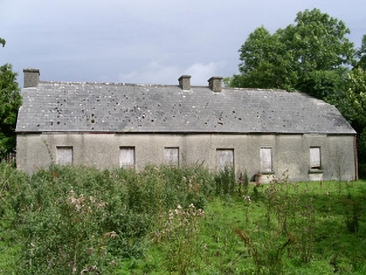 Cloonlurg Househouse · 1394 yd
 Behy Castle (in Ruins)Castle, tower house · 1419 yd
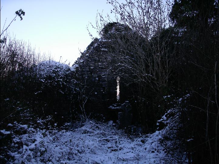 Church (in Ruins)Church · 1488 yd
 James MorrisonMemorial · 1.8 mi
 Riverstown Folk ParkHeritage attraction · 1.9 mi
 Castle Douglas (Site of)Castle, unclassified · 2.4 mi
 School CaveCave · 3.0 mi
 Kesh CorannMountain / peak · 3.4 mi
 Caves of KeshCave · 3.7 mi
 Brother WalfridMemorial · 3.8 mi