
What is recorded here
Indicated is a fairy fort or earthen ringfort in Clooneen (tireragh By.), County Sligo, Ireland. The roughly circular earth and stone bank encloses a 25m by 24m area on level ground at the west end of a broad ridge. A steep two-metre slope skirts the external edge at the west while a two-metre break in the southeast bank marks the original entrance. Four hut sites cluster just outside the east and south perimeter, with a fifth located fifteen metres to the east southeast within a bordering field system.
In pasture, situated on level ground at W end of broad SW-NE orientated ridge. A steep N-S orientated W facing slope (H 2m) skirts the external edge of the rath at W. Ground level slopes gently, facing SE immediately to the S of the rath. The rath overlooks slightly lower level ground to the W. Raised roughly circular area (25m E-W; 24m N-S) enclosed by a bank of earth and stone (Wth 7m; int. H 0.35m). A break (Wth 2m) in the bank at SE marks the position of the original entrance. A setting of eight small rubble boulders (av. dims 0.2-0.3m; av. H 0.2m) in an E-W orientated line lies on the NE side of the interior. The centre and SE side of the interior undulate irregularly with many low scarps possibly indicating internal divisions or structures. A modern L-shaped quarry (L E-W stretch 8m; L N-S stretch 6m; Wth top 2m; Wth base 0.5m; D 0.4m) abuts the inner face of the bank at W. Four hut sites (SL011-090002-; SL011-090003-; SL011-090004-; SL011-090005-) are located just outside the perimeter of the rath at E-S, and a fifth hut site (SL011-090006-) is located c. 15m to ESE within a field system (SL011-090007-) that borders the E side of the rath.
Compiled by: Mark Keegan
Date of upload: 19 January 2011
The monument record does not grant public access. Check the route and ask the landowner before entering private land.
- What survives
- Recorded monument
Places near here
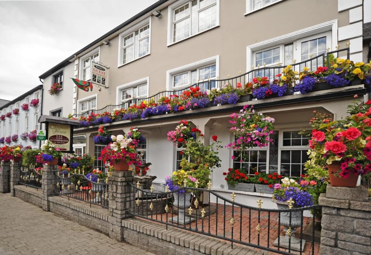 Enclosure in Clooneen (tireragh By.)Enclosure · 261 yd
 IndicatedFairy fort / earthen ringfort · 280 yd
 Ballynahowna CastleCastle, tower house · 636 yd
 CastleCastle, motte · 851 yd
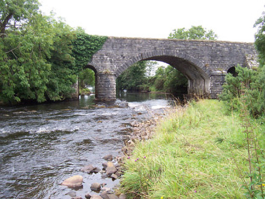 bridgebridge · 1235 yd
 Dromore West Union WorkhouseRuins · 1266 yd
 Split RockNamed rock · 1.3 mi
 Cooanmore PointHeadland · 2.6 mi
 Jim Smith MemorialMemorial · 2.7 mi
 Wild Atlantic Way: Easky PierVisitor information · 2.9 mi
 Wild Atlantic Way: Inishcrone PierVisitor information · 7.5 mi
 Grave of the Black PigArchaeological place · 7.8 mi
Other information
Photo: Credit not shown in the picture search · Rights wording not checked; contact us if this picture should be removed