What is recorded here
Located on a gentle elevation in undulating pasture. There is an expanse of more lowlying, wetter land to E and SE, with a stream c. 100m to SE. Slightly raised, sub-rectangular area (36.5m NW–SE; 34m NE–SW) defined by a scarp, and enclosed by a fosse and remnants of an external bank. The enclosing elements have been partly levelled or modified. They are best defined on the SW side. Here, the scarp (H 0.75m) drops into a fosse which is clearly discernible as a shallow depression (W 2m) marked by a growth of irises. Outside the fosse is a broad low rise (Wth c. 3.5-4m; int. H 0.3m; ext H 0.1-0.2m) representing the levelled external bank. On the NW side the enclosing elements have been modified or truncated by incorporation into a field fence/hedgerow, which also skirts the NE corner of the enclosure. On the NE side the scarp is largely levelled, but the fosse and the external bank are clearly visible. The SE side was also incorporated into a NE–SW field fence, recorded on the 1913 OS 6-inch map, but the fence has since been removed, leaving the scrap relatively intact but removing almost all trace of the fosse and external bank. The interior is relatively level. Faint linear undulations, on a NW–SE axis, may represent relict cultivation ridges, possibly related to the period of occupation of a now ruined vernacular cottage located c. 70m to SE. A rath (SL011-090001-), hut sites (SL011-090002- to SL011-090006-) and associated field system (SL011-090007-) are located c. 170m to W.
Compiled by: Jane O’Shaughnessy
Date of upload: 12 April 2013
The monument record does not grant public access. Check the route and ask the landowner before entering private land.
- What survives
- Recorded monument
Places near here
 IndicatedFairy fort / earthen ringfort · 261 yd
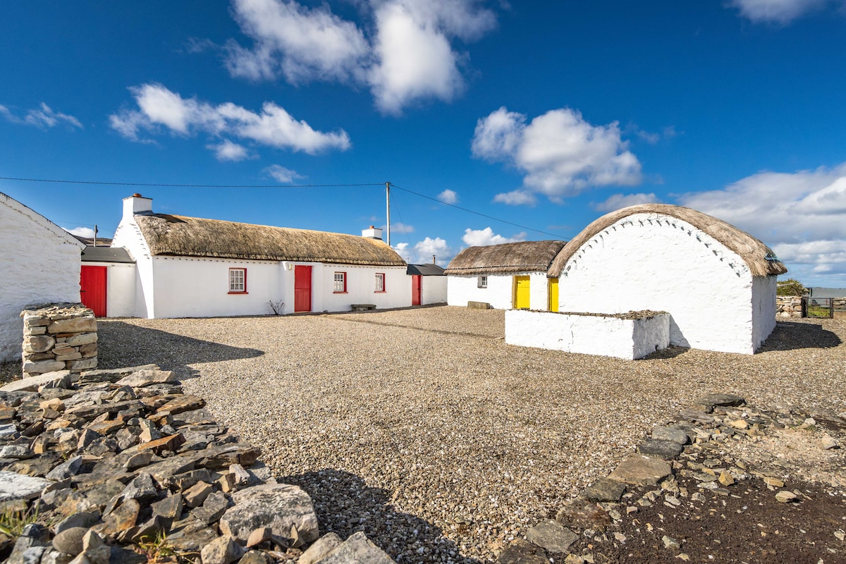 Hut site in BallynahownaHut site · 687 yd
 Ballynahowna CastleCastle, tower house · 799 yd
 CastleCastle, motte · 1042 yd
 Dromore West Union WorkhouseRuins · 1356 yd
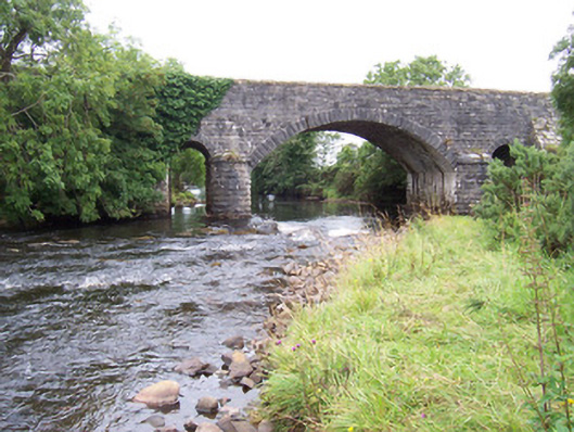 bridgebridge · 1363 yd
 Split RockNamed rock · 1.3 mi
 DonaghHeadland · 2.6 mi
 Jim Smith MemorialMemorial · 2.7 mi
 Wild Atlantic Way: Easky PierVisitor information · 2.9 mi
 Wild Atlantic Way: Inishcrone PierVisitor information · 7.6 mi
 Grave of the Black PigArchaeological place · 8.0 mi
Other information
Photo: Credit not shown in the picture search · Rights wording not checked; contact us if this picture should be removed