
What is recorded here
Situated on a NNW-facing slope in poorly-drained, lowlying ground adjacent to the SSW bank of the Easky River. Very high (H c. 2m at SSE; c. 10m at NNW), steep-sided, irregularly-shaped mound (dims. of top 20.4m NNW-SSE; 15.1m ENE-WSW) which was formed by scarping the steep, naturally-occurring slope. Some naturally-occurring limestone formations are visible in the W side of the mound. At the upper edge of the mound at SE is a largely grassed-over, short length of a drystone wall (Wth. 1.1m; max. H 0.1m) which may be portion of a defensive feature. Only ephemeral remains of this are visible at the remainder of the perimeter. At the foot of the mound from SSE-S-WSW and from NE-E-ESE are waterlogged areas whose outer extents are defined by modern stone field boundaries.
Compiled by: Patrick F. O'Donovan
Date of upload: 19 January 2011
A local castle; wider significance not recorded.
The monument record does not grant public access. Check the route and ask the landowner before entering private land.
- What survives
- Recorded monument
Places near here
 Hut site in BallynahownaHut site · 513 yd
 IndicatedFairy fort / earthen ringfort · 806 yd
 Ballynahowna CastleCastle, tower house · 1215 yd
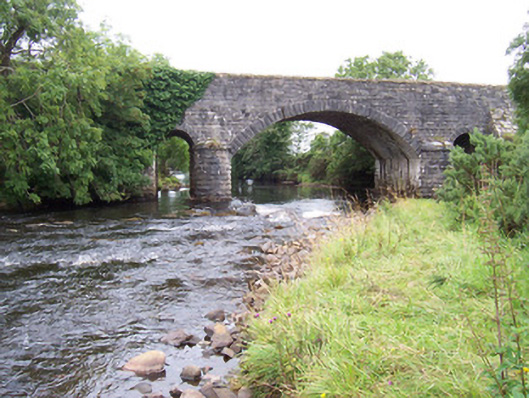 bridgebridge · 1.0 mi
 Dromore West Union WorkhouseRuins · 1.1 mi
 Split RockNamed rock · 1.1 mi
 Jim Smith MemorialMemorial · 2.3 mi
 Cooanmore PointHeadland · 2.4 mi
 Site of Dunneill CastleCastle, unclassified · 2.4 mi
 Wild Atlantic Way: Easky PierVisitor information · 2.5 mi
 Wild Atlantic Way: Inishcrone PierVisitor information · 7.2 mi
 Grave of the Black PigArchaeological place · 7.6 mi
Other information
Photo: Credit not shown · Copyright shown; no reuse licence shown