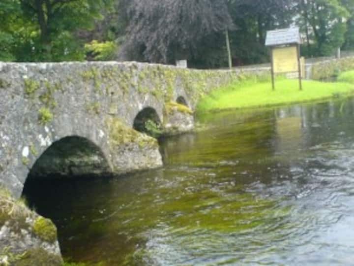
What is recorded here
Situated on an ENE-facing slope overlooking the Easky River, which lies c. 50m to E. Raised approximately oval area (49.8m NNW-SSE; 36.4m ENE-WSW) enclosed by a largely collapsed wall (Wth. 2.1m; H 0.2m - 1.1m) composed largely of drystone masonry interspersed with small quantities of earth. From NE-ENE a short length of mortared stone wall, the last upstanding vestige of a field boundary, has been constructed against the outer face of the cashel wall. Original entrance not recognisable. Centrally located within the interior is an approximately rectangular, raised stone platform (14.4m NNW-SSE; c. 11.5m ENE-WSW; H 0.1- 0.6m) which may mark the remains of a house (SL011-089001-).
Compiled by: Patrick F. O'Donovan
Date of upload: 19 January 2011
The monument record does not grant public access. Check the route and ask the landowner before entering private land.
- What survives
- Recorded monument
Places near here
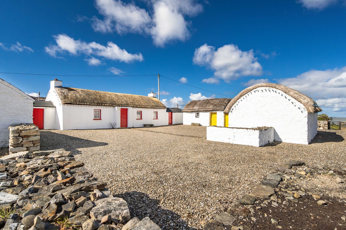 Hut site in BallynahownaHut site · 298 yd
 Ballynahowna CastleCastle, tower house · 447 yd
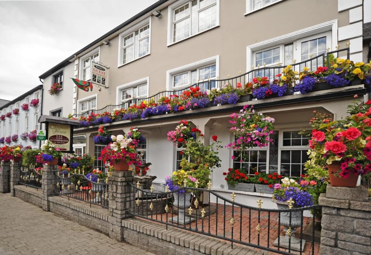 Enclosure in Clooneen (tireragh By.)Enclosure · 531 yd
 CastleCastle, motte · 806 yd
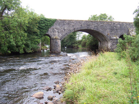 bridgebridge · 1049 yd
 Dromore West Union WorkhouseRuins · 1120 yd
 Split RockNamed rock · 1.4 mi
 Jim Smith MemorialMemorial · 2.7 mi
 Cooanmore PointHeadland · 2.7 mi
 Wild Atlantic Way: Easky PierVisitor information · 2.9 mi
 Wild Atlantic Way: Inishcrone PierVisitor information · 7.3 mi
 Grave of the Black PigArchaeological place · 7.7 mi
Other information
Photo: Credit not shown in the picture search · Rights wording not checked; contact us if this picture should be removed