
What is recorded here
On a NW-facing slope c. 150m to the S of the Camlin River. Depicted as the E half of a rectangular enclosure with the designation 'Fort' on the 1837 ed. of the OS 6-inch map. A raised circular area (diam. 35.8m) enclosed by a narrow low bank of earth and stone (Wth 2.8m; H 0.4m max.), which has been levelled from ESE-SE-S and from NW-N-NNE. The outline of the latter section is still evident. There is no trace of a fosse. A report in 1975 (SMR file) suggested that the original entrance may have been at S. It is no longer identifiable. The interior, which is heavily waterlogged, slopes appreciably from SE-NW.
Compiled by: Patrick F. O'Donovan
Date of upload: 26 August 2011
This remains an important historical record, but the official description says the monument is no longer visible or has been destroyed. The monument record does not grant public access. Check the route and ask the landowner before entering private land.
- What survives
- No visible remains or recorded as destroyed
Places near here
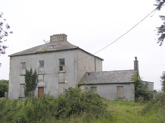 Ashfield Househouse · 1064 yd
 Fulacht fia in AghadegnanFulacht fia · 1224 yd
 Fulacht fia in LisnamuckFulacht fia · 1252 yd
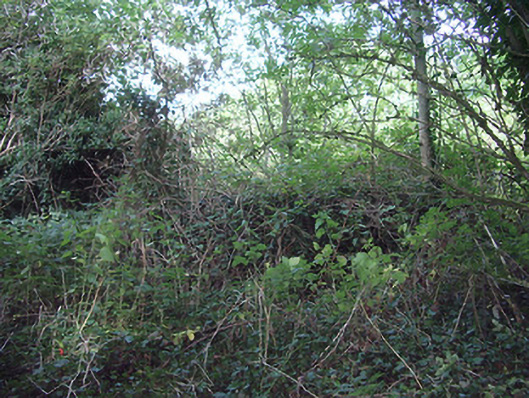 church/chapelchurch/chapel · 1533 yd
 Bawn in AbbeycartronBawn · 1.4 mi
 Saint Mel's CathedralCathedral · 1.4 mi
 First World War MemorialMemorial · 1.6 mi
 CastleCastle, Anglo-Norman masonry castle · 3.4 mi
 Graveyard in Curry (ardagh By., Coolamber Ed)Graveyard · 4.3 mi
 Commons North WalkVisitor information · 10 mi
 Wild birdsVisitor information · 10 mi
 White Sand WoodWood · 11 mi
Other information
Photo: Credit not shown in the picture search · Rights wording not checked; contact us if this picture should be removed