
What is recorded here
Tree-lined avenue/landscape feature, laid out c. 1720. Approximately 900 metres long (running roughly east-west) and 75 metres wide. Located to the northeast of Longford Town centre. River Camlin runs along the south side.
This curious and picturesque tree-lined avenue could be of considerable antiquity. It attractively links the St. John's Church of Ireland church (13002006) with the associated rectory (13008015) to the east. It was possibly originally laid out to link the Dominican Friary of St. Brigid (LF013-026---) to the west end, no longer extant, with the remains of a small-single cell church (LF013-016---/13008014), probably pre-1700 in date, to the east. It now acts as an important public amenity and represents an interesting, and unusual, element of the built heritage of Longford Town.
This does not grant access. Most recorded buildings are privately owned; view them only from public ground unless the owner allows entry.
Places near here
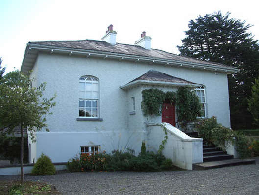 Cartron Hallhouse · 512 yd
 Grave Yd.Graveyard · 519 yd
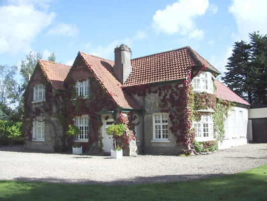 Saint Ronan'shouse · 526 yd
 Fulacht fia in LisnamuckFulacht fia · 674 yd
 Saint Mel's CathedralCathedral · 731 yd
 Bawn in AbbeycartronBawn · 764 yd
 First World War MemorialMemorial · 986 yd
 CastleCastle, Anglo-Norman masonry castle · 3.3 mi
 Graveyard in Curry (ardagh By., Coolamber Ed)Graveyard · 3.3 mi
 Commons North WalkVisitor information · 9.2 mi
 Wild birdsVisitor information · 9.4 mi
 White Sand WoodWood · 9.7 mi
Other information
Photo: National Inventory of Architectural Heritage · Website use allowed for educational or private purposes with source credit