What is recorded here
Depicted on the 1837 ed. of the OS 6-inch map as a roughly D-shaped enclosure-like feature, represented by a dashed line, with a field boundary forming the SE straight side. Not visible at ground level.
From the National Monuments Service (Archaeological Survey of Ireland) record LF004-002
The monument record does not grant public access. Check the route and ask the landowner before entering private land.
- What survives
- Recorded monument
Places near here
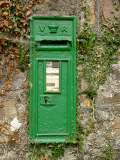 post box1533 yd
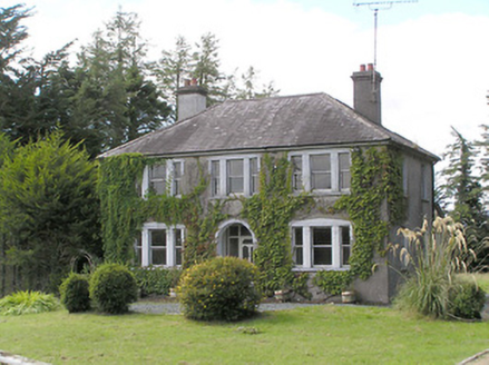 Saint Helen'sHouse · 1570 ydCahirFairy fort / ringfort · 1.3 miCastleCastle, unclassified · 1.4 mi
 Grave YardGraveyard · 3.3 mi
 Common Lime3.6 mi
 Lebanon Cedar3.6 mi
.jpg/250px-Castle_Forbes,_Longford,_Co._Longford_(21680992271).jpg "Photo: Robert French, Wikimedia Commons · No restrictions") CastleforbesCastle · 3.6 miDerrinch IslandIslet · 4.5 mi
CastleforbesCastle · 3.6 miDerrinch IslandIslet · 4.5 mi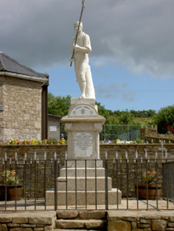 1798 MonumentMonument · 4.8 mi
 Battle of BallinamuckMajor battlefield · 4.9 mi
 Cavan & Leitrim RailwayMuseum · 6.0 mi
Pictures: National Inventory of Architectural Heritage; Davidcorry200, Wikimedia Commons · CC BY-SA 4.0; Alvesgaspar, Wikimedia Commons · CC BY-SA 3.0; Olivier BEZES, Wikimedia Commons · CC BY 2.5; Robert French, Wikimedia Commons · No restrictions; Oliver Dixon, Wikimedia Commons · CC BY-SA 2.0; Reading Tom, Wikimedia Commons · CC BY 2.0
More archaeology and monuments in County Longford · All of County Longford
What do you know about this place?