What is recorded here
Located on a S-facing slope. This is depicted as a large circular enclosure on the 1834 and 1907 editions of the OS 6-inch map. It is a circular grass-covered area (diam. 101m N-S; 91m E-W) defined by a small bank or a scarp and hedge (at S: H 1.8m), with an outer drain. Some buildings impinge on the perimeter at SE. Three cross-inscribed stones have been found in this field which is known locally as the ‘Graveyard Field’ and human bones were recovered from it during 1953 (NMI file). The holy well (MO021-012001-) is c. 100m to the SE. Revised by: Michael Moore
Date of revision: 21 June 2018
Located on a S-facing slope. This is depicted as a large circular enclosure on the 1834 and 1907 editions of the OS 6-inch map. It is a circular grass-covered area (diam. 101m N-S; 91m E-W) defined by a small bank or a scarp and hedge (at S: H 1.8m), with an outer drain. Some buildings impinge on the perimeter at SE. Three cross-inscribed stones have been found in this field which is known locally as the…
From the National Monuments Service (Archaeological Survey of Ireland) record MO021-001
The monument record does not grant public access. Check the route and ask the landowner before entering private land.
- What survives
- Recorded monument
Places near here
Holy WellSpring · 163 yd bridge730 ydbridge773 ydRuinsHouse, fortified house · 1.0 miSycamore1.0 miEuropean Yew1.0 miSandhillsMountain / peak · 1.0 miClonandraMountain / peak · 1.1 miUlster Canal Stores Visitor CentreHeritage attraction · 5.2 miRound Tower5.3 miShrine in CrossmoyleShrine · 5.3 miThe Cassandra Hand CentreMuseum · 5.4 mi
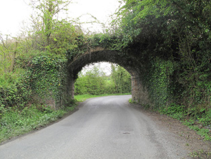 bridge730 yd
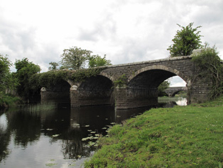 bridge773 ydRuinsHouse, fortified house · 1.0 mi
 Sycamore1.0 mi
 European Yew1.0 miSandhillsMountain / peak · 1.0 miClonandraMountain / peak · 1.1 mi
 Ulster Canal Stores Visitor CentreHeritage attraction · 5.2 mi
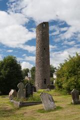 Round Tower5.3 mi
 Shrine in CrossmoyleShrine · 5.3 mi
 The Cassandra Hand CentreMuseum · 5.4 mi
Pictures: National Inventory of Architectural Heritage; Christian Pirkl, Wikimedia Commons · CC BY-SA 3.0 at; Sitomon, Wikimedia Commons · CC BY-SA 2.0; Kenneth Allen, Geograph · CC BY-SA 2.0; Andreas F. Borchert, Wikimedia Commons · CC BY-SA 4.0
More archaeology and monuments in County Monaghan · All of County Monaghan
What do you know about this place?