What is recorded here
Sub-rectangular shaped graveyard (map dims. c. 45m N-S; c. 35m E-W) with remains of fifteenth / sixteenth-century church (LH022-006001-) in centre. A number of eighteenth century gravelsabs noted when inspected by ASI, the earliest of which dates to 1776 and is dedicated to James Reath.
Compiled by: Claire Breen
Date of upload: 9 August 2012
The monument record does not grant public access. Check the route and ask the landowner before entering private land.
- What survives
- Recorded monument
Places near here
 Church (in ruins)Church · 9 yd
 Man-made underground passage in ClogherMan-made underground passage · 190 yd
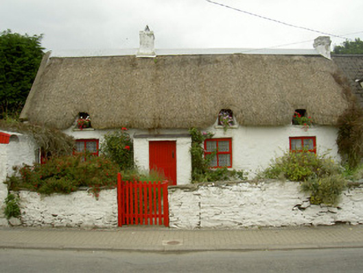 Red Door Cottagehouse · 257 yd
 St. Denniss StoneRitual site, holy/saint's stone · 741 yd
 Castle RuinsCastle, tower house · 958 yd
 Termonfeckin CastleCastle · 2.6 mi
 Chapel (in Ruins), GraveyardChurch · 3.9 mi
 Moneyveg WoodForest · 4.2 mi
 Graveyard in DysartGraveyard · 4.5 mi
 Sweet baySweet bay · 4.7 mi
 Beaulieu House and GardensHeritage attraction · 5.0 mi
 Tullydonnell HillMountain / peak · 5.5 mi