What is recorded here
Towards the E end of Clogher Lough (dims c. 1km E-W; c. 100-200m N-S) and now attached to the NE shore. Oval overgrown area (dims 27m NE-SW; 20m NW-SE; H 0.5-0.7m) composed of earth and stones. Three wooden posts are visible underwater at WNW. Toberlonaun holy well (RO010-032----) is on the S shore c. 170m to the S.
Compiled by: Michael Moore
Date of upload: 24 August 2010
The monument record does not grant public access. Check the route and ask the landowner before entering private land.
- What survives
- Recorded monument
Places near here
 ToberlonaunHoly well · 202 yd
 Moylung Castle (in ruins)Castle, unclassified · 441 yd
 TobernooneHoly well · 467 yd
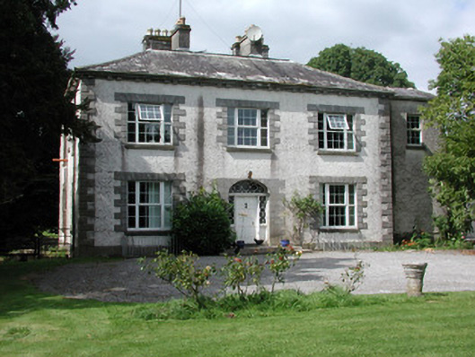 Moylurg Housecountry house · 604 yd
 R. C. ChapelChurch · 728 yd
 Castle (Site of)Castle, unclassified · 3.1 mi
 Lough Key Forest ParkWood · 3.1 mi
 Longford HillMountain / peak · 3.4 mi
 Horse-chestnutHorse-chestnut · 3.4 mi
 Western RedcedarWestern Redcedar · 3.5 mi
 Erris BayBay · 3.5 mi
 Boyle AbbeyHeritage attraction · 3.7 mi