What is recorded here
Indicated is a crannog in Clogher (boyle By.), County Roscommon, Ireland. It appears as a small island on the 1837 OS 6-inch map but now attaches to the northern shore of Clogher Lough. The oval site holds large boulders under earth, yet it shows no timber construction.
Marked as a small island on the 1837 ed. of the OS 6-inch map and now attached to the centre of the N shore of Clogher Lough (dims c. 1 km E-W; c. 100-200m N-S). Oval overgrown cairn (dims 22.5m E-W; 10m N-S; H 0.5-0.7m) composed of large boulders covered with a layer of earth, but there is no evidence of timber construction.
Compiled by: Michael Moore
Date of upload: 24 August 2010
The monument record does not grant public access. Check the route and ask the landowner before entering private land.
- What survives
- Recorded monument
Places near here
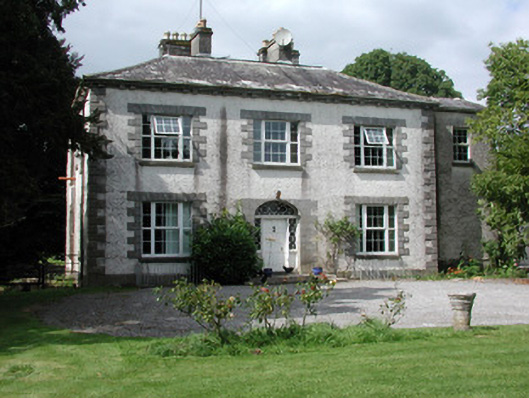 Moylurg Housecountry house · 236 yd
 Moylung Castle (in ruins)Castle, unclassified · 432 yd
 ToberlonaunHoly well · 437 yd
 R. C. ChapelChurch · 614 yd
 TobernooneHoly well · 894 yd
 Lough Key Forest ParkWood · 3.1 mi
 Castle (Site of)Castle, unclassified · 3.2 mi
 Longford HillMountain / peak · 3.4 mi
 Horse-chestnutHorse-chestnut · 3.5 mi
 Erris BayBay · 3.5 mi
 Western RedcedarWestern Redcedar · 3.5 mi
 Boyle AbbeyHeritage attraction · 3.5 mi