What is recorded here
Not marked on OS 1836 or 1876 eds. Raised oval area (int. dims. 42.2m NNW-SSE; 36.3m ENE-WSW) defined by a scarp with a low earthen bank on its upper edge. From S-W-WNW the perimeter has been modified and incorporated into the field boundary. Original entrance not recognisable. Internal area slopes steeply from ENE-WSW.
From the National Monuments Service (Archaeological Survey of Ireland) record CV024-014
The monument record does not grant public access. Check the route and ask the landowner before entering private land.
- What survives
- Recorded monument
Places near here
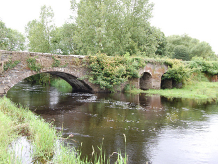 Cloggy BridgeBridge · 722 yd
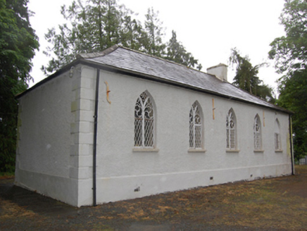 Drumcoghill Church HallSchool · 755 ydDrumcarbanMountain / peak · 1658 ydCornafean gfcMemorial · 1712 ydCloghmoreArchaeological place · 1.4 miLismore CastleCastle, unclassified · 1.6 mi
 Sycamore3.6 mi
 Cucumber Magnolia3.8 mi
 Killykeen Forest ParkForest · 4.4 mi
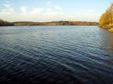 Lough OughterLake and island landscape · 4.4 mi
 Court tomb in GartnanoulCourt tomb · 4.8 mi
 Rambling at Farnham EstateVisitor information · 5.2 mi
Pictures: National Inventory of Architectural Heritage; Christian Pirkl, Wikimedia Commons · CC BY-SA 3.0 at; Bruce Marlin, Wikimedia Commons · CC BY 3.0; NTF30, Wikimedia Commons · CC BY-SA 4.0; Sarah777 at English Wikipedia, Wikimedia Commons · Public domain; Peter Gerken, Geograph · CC BY-SA 2.0
More archaeology and monuments in County Cavan · All of County Cavan
What do you know about this place?