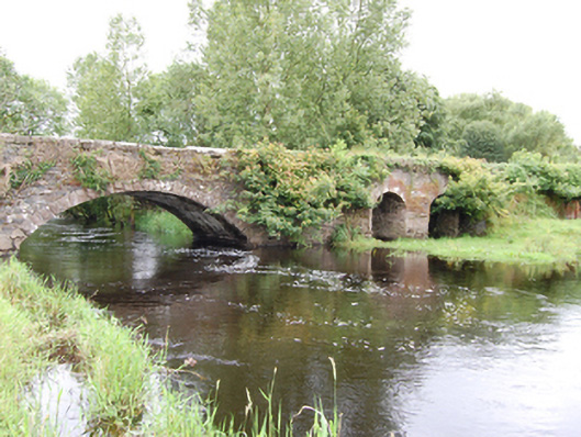
What is recorded here
Single-arch stone road bridge, built 1855, over River Erne, having wide segmental arch, two short-span semi-circular arches from earlier bridge, built c.1780, to west side. Principal spane having squared rubble stone abutments and arch barrel, with even rock-faced voussoirs and squared rubble spandrels and parapet with large stone coping blocks. Tall pier and abutments of squared rubble stone supporting narrow arch barrels to western side arches having irregular cut-stone voussoirs and V-cutwaters, rubble stone spandrels and parapet with solider coping.
An interesting road bridge, displaying two stages of development, demonstrating changes in bridge building techniques from the mid-eighteenth to the mid-nineteenth century. The earlier western section comprises multiple narrow arches with wide piers, while the later main span is typical of the Board of Works nineteenth century arterial drainage improvements that were carried out to waterways across the lakeland region to improve land drainage and agricultural production. The bridge retains form and fabric from both construction periods, and the use of robust local stone integrates the structure into the local landscape. It contributes to the historic character of its rural surroundings and to the civil engineering heritage of the county.
This does not grant access. Most recorded buildings are privately owned; view them only from public ground unless the owner allows entry.
Places near here
 IndicatedFairy fort / earthen ringfort · 722 yd
 White Lough ForestForest · 1237 yd
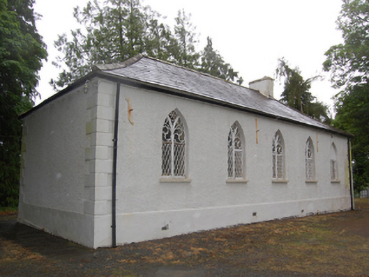 Drumcoghill Church Hallschool · 1343 yd
 DrumcarbanMountain / peak · 1429 yd
 Drumcarban ForestForest · 1656 yd
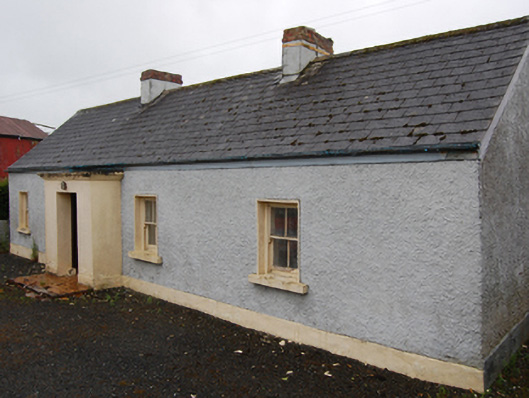 farm housefarm house · 1.4 mi
 Cornafean GFCMemorial · 1.4 mi
 CloghmoreArchaeological place · 1.4 mi
 Red IslandIslet · 1.5 mi
 Lismore CastleCastle, unclassified · 1.6 mi
 Bruse HillMountain / peak · 2.0 mi
 Castle CosbyCastle, unclassified · 2.6 mi
Other information
Photo: National Inventory of Architectural Heritage · Website use allowed for educational or private purposes with source credit