What is recorded here
At a rath (SL011-013----). Extending out at right angles for 7.5m from the outer face of the bank at NW is a linear, low bank of earth and stone (Wth. 2.4m; max. H 0.75m). From this point it changes direction and runs for a further 5.5m in a NNE direction.
Compiled by: Patrick F. O'Donovan
Date of upload: 19 January 2011
The monument record does not grant public access. Check the route and ask the landowner before entering private land.
- What survives
- Recorded monument
Places near here
 IndicatedFairy fort / earthen ringfort · 228 yd
 ToberabiddeenHoly well · 816 yd
 CastleCastle, ringwork · 1129 yd
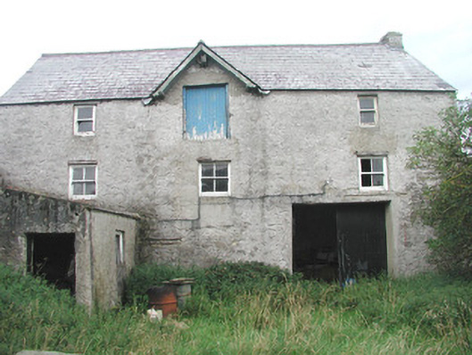 Swan Houseoutbuilding · 1159 yd
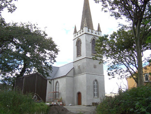 Saint Anne's Church (Easky)church/chapel · 1344 yd
 Bawn in CastletownBawn · 1371 yd
 Bunowna PointHeadland · 1382 yd
 Wild Atlantic Way: Easky PierVisitor information · 1656 yd
 Jim Smith MemorialMemorial · 1.5 mi
 Cooanmore PointHeadland · 1.9 mi
 Wild Atlantic Way: Inishcrone PierVisitor information · 6.7 mi
 Grave of the Black PigArchaeological place · 7.6 mi