What is recorded here
Rectangular shaped area (map dims. c. 68m E-W; c. 46m N-S) with present church (LH021-003001-) in W half.
Compiled by: Claire Breen
Date of upload: 12 July 2012
The monument record does not grant public access. Check the route and ask the landowner before entering private land.
- What survives
- Recorded monument
Places near here
 Church (in Ruins)Church · 26 yd
 Tober MauraHoly well · 60 yd
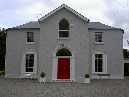 Mullary Househouse · 91 yd
 Enclosure in Priest TownEnclosure · 499 yd
 CastleCastle, unclassified · 1.4 mi
 MonasterboiceEarly monastic site · 1.8 mi
 Monasterboice Round TowerHeritage attraction · 1.8 mi
 BarabonaMountain / peak · 2.4 mi
 Rathescar Lakeside WalkWood · 2.4 mi
 Chapel (in Ruins), GraveyardChurch · 2.7 mi
 European BeechEuropean Beech · 2.9 mi
 BarmeathCastle, tower house · 3.0 mi