What is recorded here
Located c. 120m W of the River Suir, in pasture. A circular enclosure (diam. c. 14m) defined by a fosse, visible on satellite imagery (© Google Earth, imagery date 20 January 2020), identified and reported by Jean-Charles Caillère. The enclosure is indicated on the 1st (1840) ed. OS 6-inch map as a tree-ring within the demesne of Castlepark House (later Mantlehill House) which was located c. 90m to the W. This feature may have been an enclosure which was subsequently utilised as a tree-ring or it could have been created as a tree-ring within Castlepark House demesne.
See attached:
TS060-151----_01 Google Earth image (imagery date 20 January 2020)
TS060-151----_02 extract from 1st (1840) ed. OS 6-inch map
Compiled by: Jean Farrelly
Date of upload: 11 January 2022
The monument record does not grant public access. Check the route and ask the landowner before entering private land.
- What survives
- Recorded monument
Places near here
 Bawn in CastleparkBawn · 272 yd
 RoadRoad, road/trackway · 292 yd
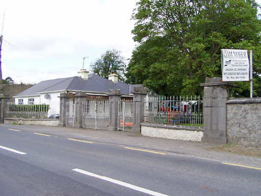 Mantlehill Housegates/railings/walls · 296 yd
 Castle in ruinsCastle, tower house · 397 yd
 GoldenSettlement cluster · 417 yd
 Cliff-edge fort in Mantlehill GreatCliff-edge fort · 1090 yd
 Athassel PrioryHeritage attraction · 1.4 mi
 Hore AbbeyHeritage attraction · 4.0 mi
 Dundrum Woods (Marl Bog)Forest · 4.8 mi
 European ashEuropean ash · 4.9 mi
 The Maid of ErinMemorial · 7.6 mi
 SturrakeenMountain / peak · 8.1 mi