
What is recorded here
In a field immediately N of the medieval church (TS060-097004-) and graveyard (TS060-097009-) on the N side of the village of Golden. A curving roadway runs roughly N-S for c. 300m, running E of a millrace which supplied a late 18th/early 19th century flour mill (TS060-097005-). The roadway was identified on an aerial photograph (CUCAP 19 July 1967 ATA 51). It consists of two denuded parallel banks, 4.55m apart, with a central ridge on the road towards the northern end. The W bank (H 0.25m; overall Wth 4.8m) is generally better preserved than the E bank (H 0.2m; overall Wth 3.8m). A small single-span hump-backed bridge (L 5.4m; Wth 2.6m) crosses the millrace near the northern terminus of the roadway, suggesting that the roadway may be of late 18th/early 19th-century date and associated with the mill. (Farrelly and FitzPatrick 1993, 112-13).
Compiled by: Jean Farrelly
Date of upload: 25 February 2013
This monument is subject to a preservation order made under the National Monuments Acts 1930 to 2014 (PO no. 20/1977).
The monument record does not grant public access. Check the route and ask the landowner before entering private land.
- What survives
- Recorded monument
Places near here
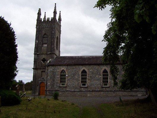 Golden Church (Relickmurry and Athassel)church/chapel · 151 yd
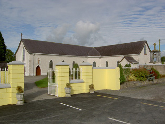 Catholic Church of the Blessed Sacramentchurch/chapel · 214 yd
 GoldenSettlement cluster · 302 yd
 Castle in ruinsCastle, tower house · 395 yd
 Bawn in CastleparkBawn · 549 yd
 Cliff-edge fort in Mantlehill GreatCliff-edge fort · 1044 yd
 Athassel PrioryHeritage attraction · 1.5 mi
 Hore AbbeyHeritage attraction · 3.8 mi
 Dundrum Woods (Marl Bog)Forest · 4.9 mi
 European ashEuropean ash · 5.1 mi
 I.R.A. 3rd. Tipperary Brigade MemorialMemorial · 7.0 mi
 The Maid of ErinMemorial · 7.8 mi
Other information
Photo: Credit not shown in the picture search · Rights wording not checked; contact us if this picture should be removed