
What is recorded here
In level pasture, on a terrace on a steep S-sloping hillside overlooking Crookhaven. A heavily overgrown arc S-NNW may indicate the remains of the enclosing element of a rath (diam. c. 20m). This arc is also indicated on the 1902 OS 6-inch map. The top of a fern-covered mound of stones at N appears to be field clearance, but it may overlay the original enclosing element. From N-NNE the arc (L c. 6m) of a low bank (Wth 2m; int. H 0.45m; ext. H 0.45m) may indicate further remains of the enclosing element. From SSE-S the arc of a rebuilt revetment stone wall (H 1.6m) appears to follow what may have been an enclosing scarp. Elsewhere, there is no definite trace of an enclosing element and the ground surface is uneven. A Man-made underground passage (CO147-070002-) is within the possible rath.
The above description is derived from 'The Archaeological Inventory of County Cork. Volume 5' (Dublin: Stationery Office, 2009).
Date of upload: 22 December 2009
The monument record does not grant public access. Check the route and ask the landowner before entering private land.
- What survives
- Recorded monument
Places near here
 Castle (Site of)Castle, unclassified · 141 yd
 Structure in Greenane (carbery W. (w.d) By.)Structure · 880 yd
 Church in Kilbarry (carbery West (w.d) By.)Church · 892 yd
 Church in CrookhavenChurch · 949 yd
 Fulacht fia in Greenane (carbery W. (w.d) By.)Fulacht fia · 990 yd
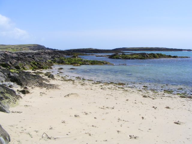 Galley Cove BeachBeach / strand · 1.1 mi
 Creamery PlatformMemorial · 1.7 mi
 Chimney CoveBeach / strand · 1.9 mi
 Barley CoveHeritage attraction · 2.2 mi
 KnocknamaddreeMountain / peak · 2.5 mi
 KnockboyMountain / peak · 2.6 mi
 Ballyrisode PointHeadland · 3.2 mi
Other information
Photo: Credit not shown in the picture search · Rights wording not checked; contact us if this picture should be removed