What is recorded here
Indicated is a trapezoidal earthen enclosure on a NE-facing slope in County Cork, Ireland. Cattle gaps pierce the low bank on three sides, suggesting the fort served living herds rather than standing empty. Deciduous trees now crowd the fosse and rampart, softening the sharp geometry Bowman measured in 1934. The site remains visible in pasture, its boundaries still readable beneath leaf and soil.
In pasture, on NE-facing slope. Trapezoidal area (int. dims. 51m N-S; 26m E-W) defined by low earthen bank (int. H 0.5m; ext. H 1.05m) with external fosse (D 0.2m). Cattle gaps (Wth 0.6m - 1m) in bank on E, S and W sides; second gap (Wth 1.8m) in W bank to S of first. Slightly raised interior slopes gently down to NE. Site overgrown with deciduous trees, concentrated on bank and fosse. Recorded by Bowman (1934, 60) as single-ramparted fort on J. McCabe's land, with sides of 63, 65, 39, and 30 yds.
The above description is derived from the published 'Archaeological Inventory of County Cork. Volume 4: North Cork' (Dublin: Stationery Office, 2000). In certain instances the entries have been revised and updated in the light of recent research.
Date of upload/revision: 14 January 2009
The monument record does not grant public access. Check the route and ask the landowner before entering private land.
- What survives
- Recorded monument
Places near here
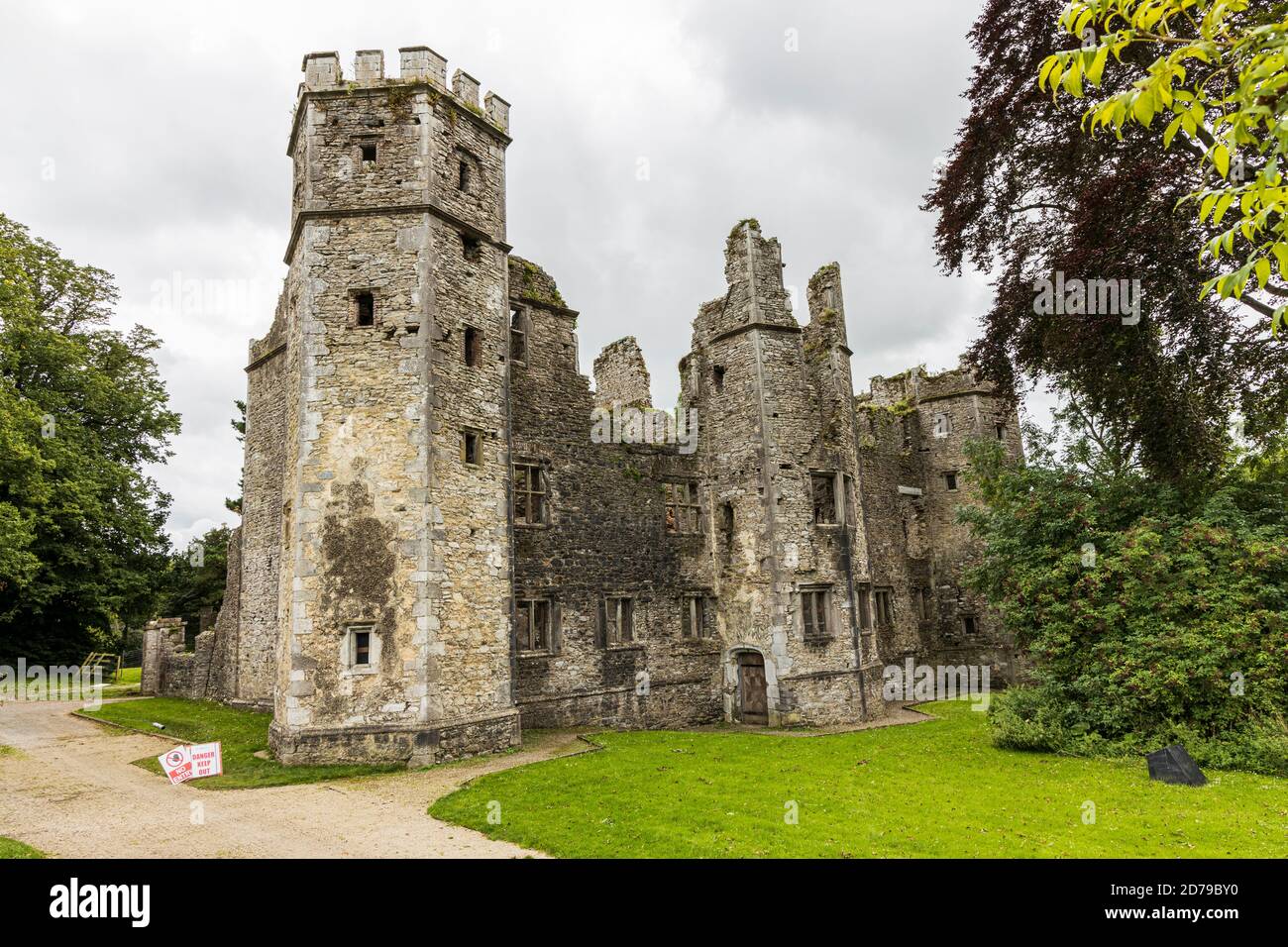 Fulacht fia in Castlelohort DemesneFulacht fia · 186 yd
 Lohort CastleCastle, tower house · 353 yd
 IndicatedEnclosure · 465 yd
 Ballygiblin Housegates/railings/walls · 1171 yd
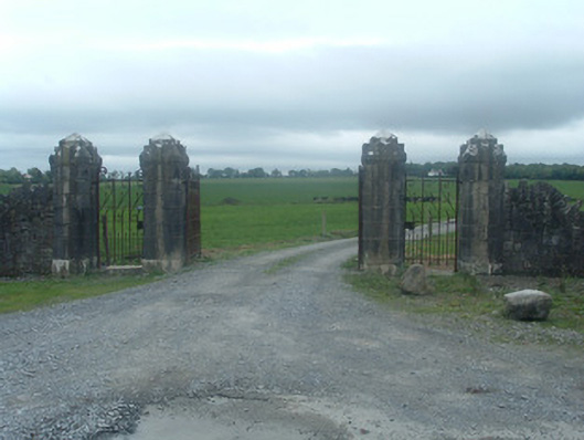 Castlelohortgates/railings/walls · 1413 yd
 Graveyard in Ballygiblin (duhallow By.)Graveyard · 1708 yd
 Castle Magner (in Ruins)Bawn · 1.2 mi
 European YewEuropean Yew · 2.3 mi
 Burial ground in AssolasBurial ground · 2.5 mi
 Dromaneen CastleHeritage attraction · 3.4 mi
 St Fursey's WellSpring · 3.9 mi
 Mount Hillary - Knightfield LoopWalking route · 4.1 mi