
What is recorded here
In pasture, on gentle S-facing slope; farmyard immediately to E of site. Oval area (c. 106m N-S; c. 60m E-W) defined by low earthen bank (int. H 0.7m; ext. H 0.8m) with shallow external fosse (D 0.5m). Bank heavily overgrown; inner face slopes gently down to interior; break in bank to N (Wth 2m); recent gap to ESE (Wth 3m). Fosse survives all round, except where breaks occur. Interior heavily overgrown and inaccessible except immediately inside bank and in clearing at SE end. Locally known as a 'fort'.
The above description is derived from the published 'Archaeological Inventory of County Cork. Volume 4: North Cork' (Dublin: Stationery Office, 2000). In certain instances the entries have been revised and updated in the light of recent research.
Date of upload/revision: 14 January 2009
The monument record does not grant public access. Check the route and ask the landowner before entering private land.
- What survives
- Recorded monument
Places near here
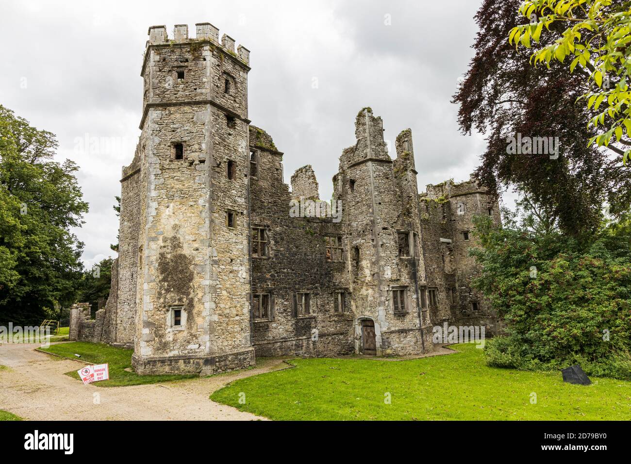
 Lohort CastleCastle, tower house · 377 yd
 Fulacht fia in Castlelohort DemesneFulacht fia · 626 yd
 Man-made underground passage in Kilpatrick (duhallow By.)Man-made underground passage · 1303 yd
 Ballygiblin Housegates/railings/walls · 1631 yd
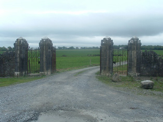 Castlelohortgates/railings/walls · 1661 yd
 Graveyard in Ballygiblin (duhallow By.)Graveyard · 1.2 mi
 Castle Magner (in Ruins)Bawn · 1.3 mi
 European YewEuropean Yew · 2.4 mi
 Burial ground in AssolasBurial ground · 2.6 mi
 Dromaneen CastleHeritage attraction · 3.2 mi
 St Fursey's WellSpring · 3.8 mi
 Mount Hillary - Knightfield LoopWalking route · 3.9 mi
Other information
Photo: Credit not shown in the picture search · Rights wording not checked; contact us if this picture should be removed