What is recorded here
Situated on a slight natural rise surrounded by undulating rushy grassland adjacent to the Royal Canal and 95m SW of Kiddy's Bridge. Ringfort (WM010-032----) 430m to SE. Present remains consist of a D-shaped enclosure (approx. diam. 26m N-S; 38m E-W) enclosed by an earthen bank. This bank is visible from NE-S-NW. The N straight edge of this monument is formed by the tow path for the Royal Canal, which cuts through the N side of the earthwork. This earthwork is depicted as a house with adjoining field boundary on the 1837 ed. OS 6-inch map and not as an antiquity. The earthwork probably represents the levelled remains of the post-1700 house and adjoining field boundary.
Compiled by: Frank Coyne and Caimin O'Brien
Date of upload: 8 June 2017
The monument record does not grant public access. Check the route and ask the landowner before entering private land.
- What survives
- Recorded monument
Places near here
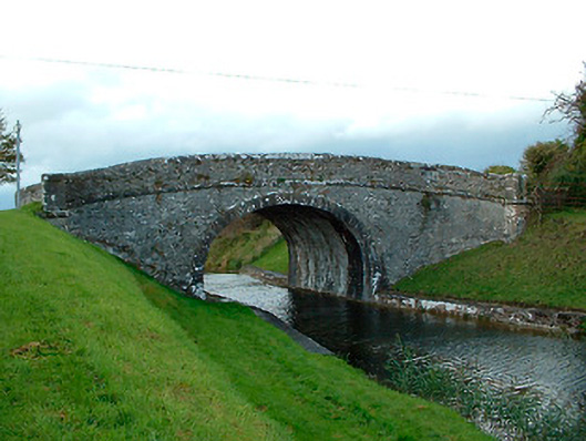 Kiddy's Bridgebridge · 113 yd
 37th Lock Keeper's CottageRuins · 472 yd
 OutlinedFairy fort / earthen ringfort · 1.0 mi
 Site of CastleCastle, unclassified · 1.0 mi
 Settlement desertedSettlement deserted, medieval · 1.2 mi
 CastleCastle, unclassified · 1.5 mi
 Horse-chestnutHorse-chestnut · 2.8 mi
 Baronstown ForestWood · 2.9 mi
 Abbeyshrule AbbeyRuins · 3.5 mi
 Noughaval CemeteryArchaeological place · 9.3 mi
 National Famine WayWalking route · 9.4 mi
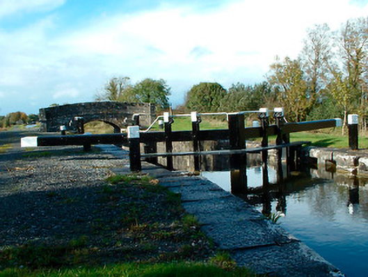 37th Locklock · 499 yd