
What is recorded here
Situated on a N-facing slope in hilly pasture, at the NW corner of a graveyard (SL018-029003-). Sixteenth century, limestone-built parish church (16.9m E-W; 7.2m N-S; Wall T 0.95m). The N wall and the N 2/3 of the E wall have been removed. The E wall had a large window of which only the S jamb survives. The S wall has a large blocked-up window at the W end and a single light window at the E end. Also at the E end is a piscina. The W gable survives to full height. At the S end of this wall is a broken out entrance which provided access to the adjacent tower house (SL018-029001-) 5.5m E.
Compiled by: Patrick F. O'Donovan
Date of upload: 19 January 2011
A local church or high cross; wider significance not recorded.
The monument record does not grant public access. Check the route and ask the landowner before entering private land.
- What survives
- Recorded monument
Places near here
 CastleCastle, tower house · 20 yd
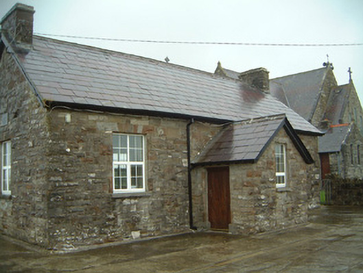 Templeterrace National Schoolschool · 947 yd
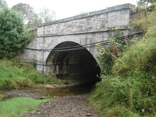 bridgebridge · 961 yd
 Enclosure in LugdoonEnclosure · 1354 yd
 Fulacht fia in BallyeeskeenFulacht fia · 1467 yd
 Site of Dunneill CastleCastle, unclassified · 2.4 mi
 DonaghHeadland · 2.5 mi
 Aughris HeadHeadland · 3.3 mi
 Aughris BeachBeach / strand · 3.4 mi
 Knockalongy South-West TopMountain / peak · 3.8 mi
 KnockalongyMountain / peak · 3.8 mi
 Dunmoran StrandBeach / strand · 4.0 mi
Other information
Photo: Credit not shown in the picture search · Rights wording not checked; contact us if this picture should be removed