
What is recorded here
In pasture affording good views to the N. Raised circular area (int. diam. 23m) enclosed by a stone wall built of boulders. No indication of a fosse. Cattle have broken through the wall on the SW side but there is no indication of the location of the original entrance. The cashel is now used as a cattle enclosure.
Compiled by: Patrick F. O'Donovan
Date of upload: 08 March 2013
The monument record does not grant public access. Check the route and ask the landowner before entering private land.
- What survives
- Recorded monument
Places near here
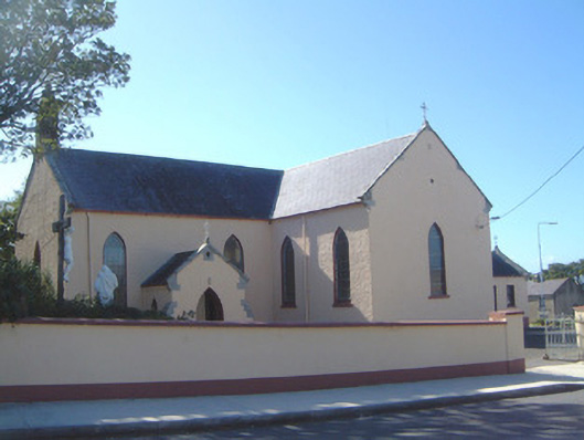 Saint Molaise's Catholic Churchchurch/chapel · 481 yd
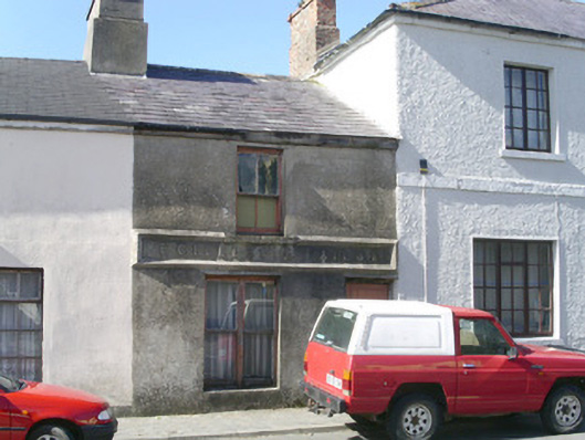 E. Gillespiebuilding misc · 489 yd
 CaveFairy fort / earthen ringfort · 697 yd
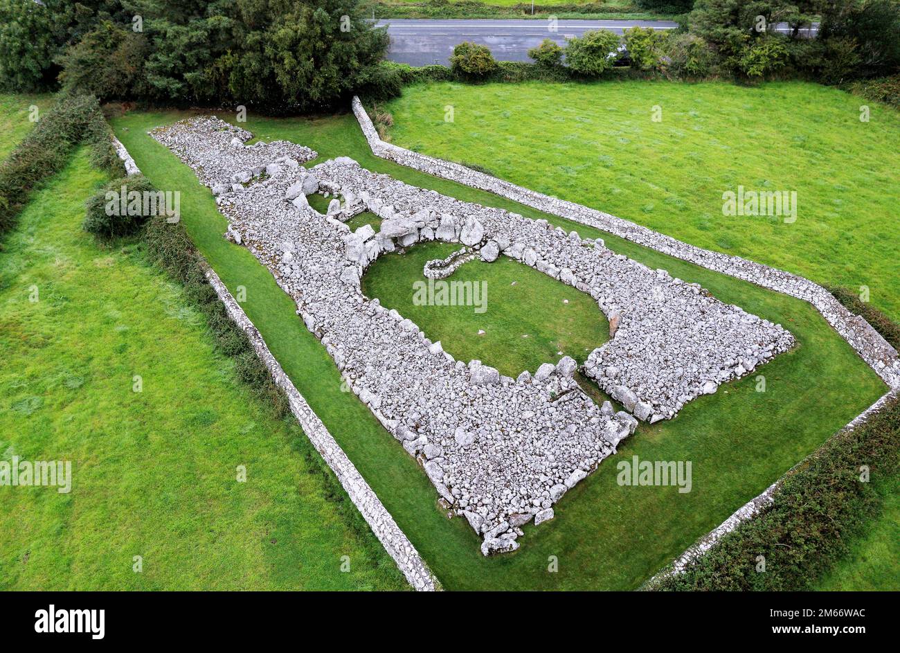 LisheenFairy fort / stone ringfort · 1488 yd
 Creevykeel Court TombNeolithic court tomb · 1614 yd
 Trawalua StrandBeach / strand · 1.3 mi
 Classiebawn WoodsWood · 1.4 mi
 Unbaptised Children MonumentMemorial · 1.8 mi
 Gleniff Horseshoe Drive 2Viewpoint · 2.6 mi
 Gleniff Horseshoe DriveViewpoint · 2.6 mi
 assassination of Louis Mountbatten, 1st Earl Mountbatten of Burmaassassination · 2.6 mi
 BenwiskinMountain / peak · 2.8 mi
Other information
Photo: Credit not shown in the picture search · Rights wording not checked; contact us if this picture should be removed