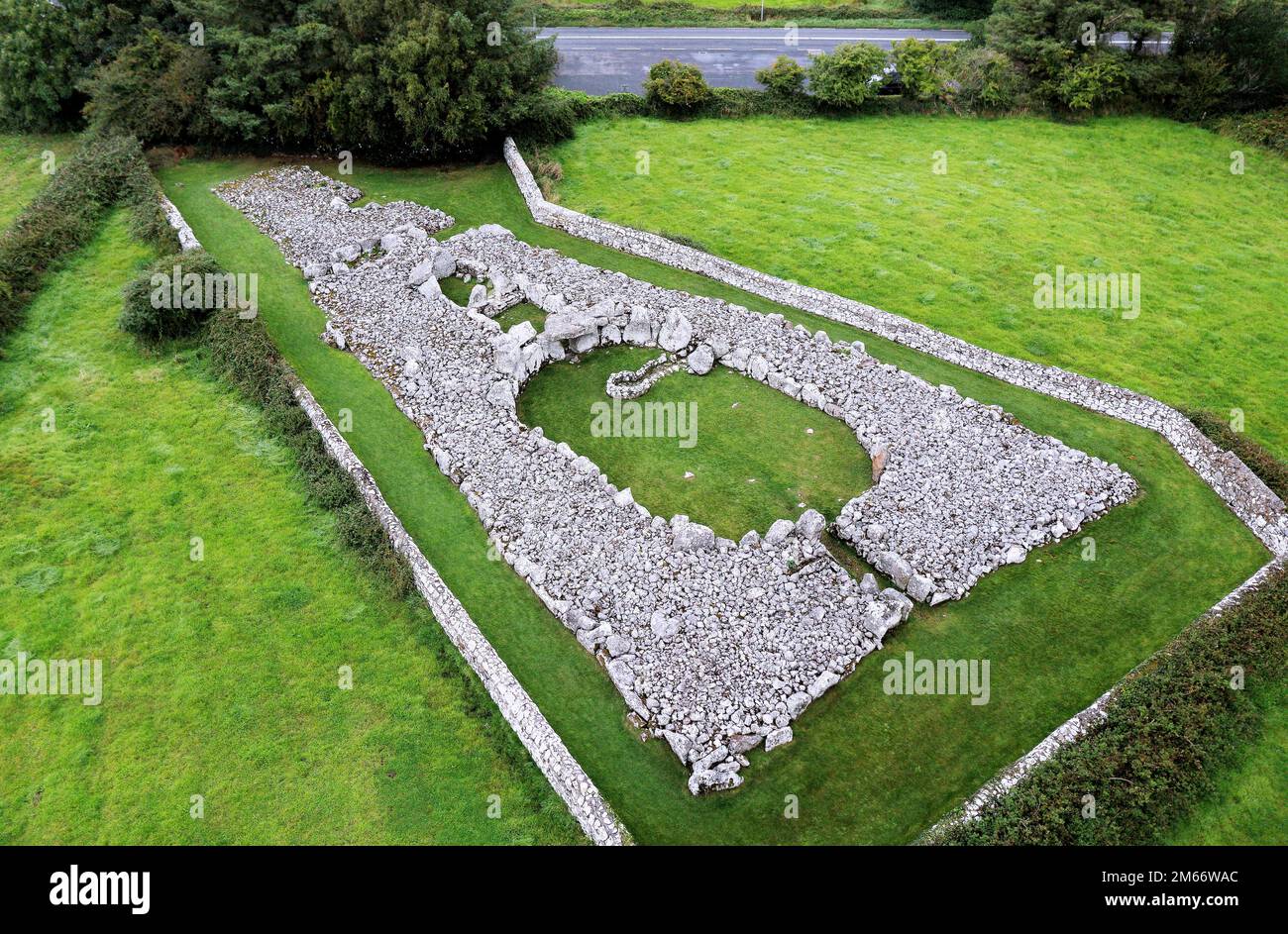
What is recorded here
Situated in level pasture. Circular area (diam. 23m) enclosed by a stone bank of random rubble limestone (Wth 3.4m; int. H 0.6m). There is no fosse visible at ground level. From N-E, the bank has been removed and the edge of the site is defined by a slight inward facing scarp (H 0.3m). A slightly raised, roughly gravelled farm trackway skirts the edge of the enclosure N-E. The original entrance to the site is not recognisable. Two hut sites (SL003-031001- and SL003-031002-) are located on the W side of the interior.
Compiled by: Patrick F. O'Donovan
Date of upload: 21 April 2011
This remains an important historical record, but the official description says the monument is no longer visible or has been destroyed. The monument record does not grant public access. Check the route and ask the landowner before entering private land.
- What survives
- No visible remains or recorded as destroyed
Places near here
 Creevykeel Court TombNeolithic court tomb · 307 yd
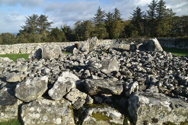 Creevykeel burial moundArchaeological place · 309 yd
 Giants GravesCourt tomb · 317 yd
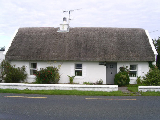 The Cottagehouse · 644 yd
 Church (in Ruins)Church · 834 yd
 Classiebawn WoodsWood · 1676 yd
 Unbaptised Children MonumentMemorial · 1.2 mi
 Trawalua StrandBeach / strand · 1.5 mi
 assassination of Louis Mountbatten, 1st Earl Mountbatten of Burmaassassination · 1.9 mi
 Wild Atlantic Way: Mullaghmore HeadVisitor information · 2.4 mi
 Mullaghmore HeadVisitor information · 2.4 mi
 BenwiskinMountain / peak · 3.4 mi
Other information
Photo: Credit not shown in the picture search · Rights wording not checked; contact us if this picture should be removed