What is recorded here
In rolling pasture, located on a low rise, with good views, most extensive to the SW.
A circular area (29m NE–SW; 27m NW–SE) defined on the S half by an earthen bank (Wth 4.8m; int. H 0.4m; ext. H 1.55m). Outside the bank it is enclosed by a fosse (Wth 2.3m) with an external bank/counterscarp of earth and stone, which is low and relatively insubstantial on the SE-S arc (Wth 1.4-1.7m; int. H 0.6m; ext. H 0.1m) and more substantial (Wth 2.5m) at W. The N half of the rath has been levelled and can be traced only as a low undulation. The rath utilises a natural rise which creates a slightly raised, fairly level interior.
The entrance is at SSE where there is a gap (Wth 1.8m) in the bank with traces of a causeway (Wth c. 2m) across the fosse. A field wall on a NE–SW axis crosses the S half of the interior, intersecting at the SW end with a perpendicular field wall which extends to the NW truncating the inner face of the bank at W.
Compiled by: Jane O’Shaughnessy
Date of upload: 29 June 2022
The monument record does not grant public access. Check the route and ask the landowner before entering private land.
- What survives
- Recorded monument
Places near here
 Enclosure in KilmanninEnclosure · 887 yd
 Ballyhaunis Railway Stationbuilding misc · 1329 yd
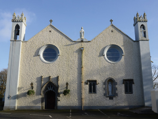 Saint Mary's Catholic Churchchurch/chapel · 1333 yd
 Enclosure in DevlisEnclosure · 1346 yd
 Rath Castle in ruinsCastle, tower house · 5.6 mi
 CastleCastle, unclassified · 5.6 mi
 East Mayo Brigade MonumentMemorial · 7.5 mi
 Oak WoodForest · 11 mi
 Kiltimagh MuseumMuseum · 11 mi
 Thorn CaveCave · 13 mi
 Site of Killomaine Grave YardArchaeological place · 15 mi
 European ashEuropean ash · 17 mi