What is recorded here
Situated on a low rise in pasture. This monument is poorly preserved. Remains comprise a slightly raised circular area (diam. 19m; max. H 0.85m). No bank or fosse. Original entrance not recognisable. O'Donovan
Date of upload: 19 January 2011
From the National Monuments Service (Archaeological Survey of Ireland) record SL012-087
The monument record does not grant public access. Check the route and ask the landowner before entering private land.
- What survives
- Recorded monument
Places near here
Man-made underground passage in CarrowcaslanMan-made underground passage · 301 ydFulacht fia in CarrowcaslanFulacht fia · 552 yd Aughris BeachBeach / strand · 1680 ydpublic house1.0 miDunmoran StrandBeach / strand · 1.1 miFortlaurel HouseHouse · 1.2 miAughris HeadHeadland · 1.7 miCastleCastle, Anglo-Norman masonry castle · 1.9 miCastleCastle, unclassified · 2.6 miKnockalongy North-East TopMountain / peak · 3.8 miSligo BayBay · 4.4 miEuropean ash4.9 mi
 Aughris BeachBeach / strand · 1680 yd
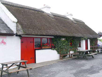 public house1.0 mi
 Dunmoran StrandBeach / strand · 1.1 mi
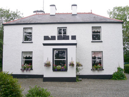 Fortlaurel HouseHouse · 1.2 mi
 Aughris HeadHeadland · 1.7 miCastleCastle, Anglo-Norman masonry castle · 1.9 miCastleCastle, unclassified · 2.6 miKnockalongy North-East TopMountain / peak · 3.8 mi
 Sligo BayBay · 4.4 mi
 European ash4.9 mi
Pictures: Michael Dibb, Geograph · CC BY-SA 2.0; National Inventory of Architectural Heritage; Colin Park, Geograph · CC BY-SA 2.0; Paul Burns, Geograph · CC BY-SA 2.0; Pampuco, Wikimedia Commons · CC BY-SA 4.0; Willow, Wikimedia Commons · CC BY 2.5
More archaeology and monuments in County Sligo · All of County Sligo
What do you know about this place?