What is recorded here
Situated at the NE edge of a low ridge in coastal pasture. Depicted as a circular enclosure on the 1837 edition of the OS 6-inch map. The enclosure has been levelled but the outline of a circular area (diam c. 22m E–W) can still be discerned. It is defined by a slight scarp at W (H 0.6m) and at N (H 1.2m) where it merges with the ridge slope. There is a possible Man-made underground passage (SL012-051001-) in the interior. A derelict cottage abuts the SW of the enclosure, and the stone walls of a field plot overlie the SE quadrant.
From the National Monuments Service (Archaeological Survey of Ireland) record SL012-051
Places near here
Photo credits
- National Inventory of Architectural Heritage
- Paul Burns, Geograph · CC BY-SA 2.0
- Michael Dibb, Geograph · CC BY-SA 2.0
- Colin Park, Geograph · CC BY-SA 2.0
- Mick Garratt, Geograph · CC BY-SA 2.0
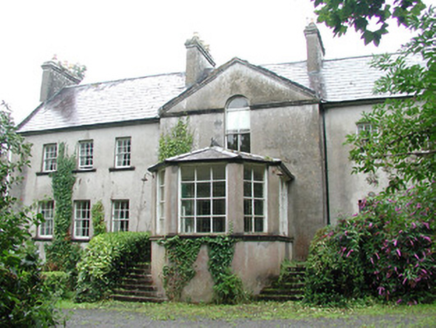 DoonycoyCountry house · 911 yd
 Man-made underground passage in BallyeeskeenMan-made underground passage · 1053 ydIndicatedFairy fort / earthen ringfort · 1074 yd
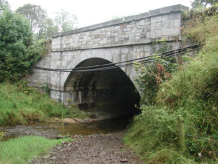 bridge1445 ydCastleCastle, unclassified · 1740 yd
 Aughris HeadHeadland · 3.1 mi
 Aughris BeachBeach / strand · 3.6 mi
 Split RockNamed rock · 3.8 mi
 Dunmoran StrandBeach / strand · 4.4 miJim Smith MemorialMemorial · 5.0 mi
 Wild Atlantic Way: Easky PierVisitor information · 5.5 mi
 Roslee CastleCastle, tower house · 5.5 mi
More archaeology and monuments in County Sligo · All of County Sligo
What do you know about this place?Tap to add a comment or ask a question