
What is recorded here
From the National Monuments Service (Archaeological Survey of Ireland) record MA071-186
Places near here
Photo credits
- National Inventory of Architectural Heritage
- Maker not stated on source page, commons.wikimedia.org
- Maker not stated on source page, en.wikipedia.org
- Maker not stated on source page, www.pinterest.com
- Maker not stated on source page, www.dreamstime.com
- Annette Clarke / Moy Davitts GAA, as credited by Western People, www.westernpeople.ie
- Western People; photographer not stated (Stuart Tynan is article author), www.westernpeople.ie
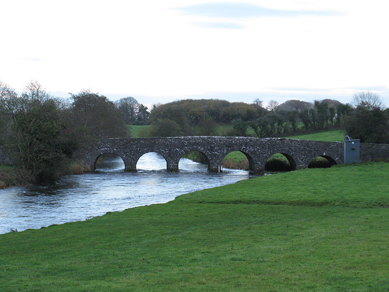 Scarrownageeragh BridgeBridge · 1118 yd
Explorer Tom Scarrownageeragh Bridge is arching over the Gweestion River with an elegance that makes me want to slow down and…
 Standing stone in CloonmungStanding stone · 1.9 mi
Explorer Tom Standing stone in Cloonmung, County Mayo has had so many names over the centuries that it just gave up and picked one…
 CastleCastle, unclassified · 1.9 mi
Explorer Tom Castle in Bohola is locked in a bitter feud with the rain, saying it’s always showing up uninvited to its parties. It’s…
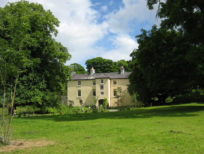 Cloongee HouseHouse · 2.6 mi
Explorer Tom Cloongee House took roughly four million cups of tea to build, mostly because the workers needed comfort after hauling…
 Ballyvary, Ballyvary HurlingGAA ground · 4.3 mi
 bridge4.5 mi
Explorer Tom Bridge in Pollronahan More was built for the 'Burma Road', which is a name that sounds way more exotic than it needs to…
 Megalithic tomb in KilledanMegalithic tomb · 4.6 mi
Explorer Tom Megalithic tomb in Killedan has a tall tale about a hidden tunnel to the pub that definitely exists if you squint hard…
 Kinaff BridgeBridge · 4.7 mi
Explorer Tom Kinaff Bridge would be the best man at a wedding. It stands there all night, holding things up so nobody falls over…
 Srath Garbh, Bohola-Moy Davitts, FoxfordGAA ground · 4.8 mi
 Standing stone in Brackloon (gallen By.)Standing stone · 5.0 mi
Explorer Tom Standing stone in Brackloon is leaning so far over it’s practically napping on the hillside. I reckon it dodged the…
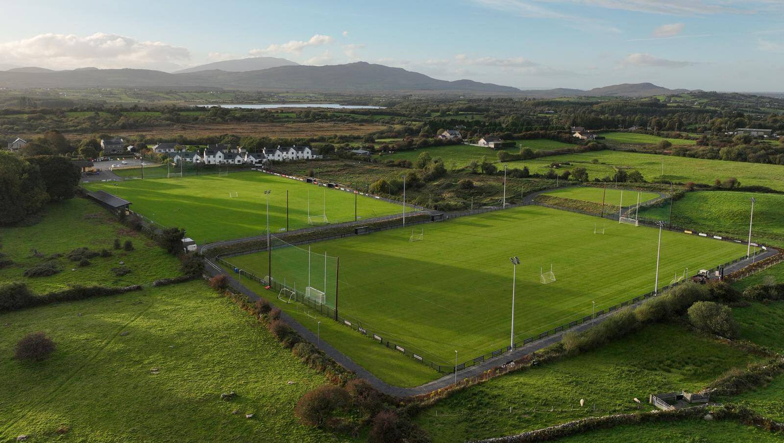 Parke, Parke-Keelogues-Crimlin GAAGAA ground · 5.0 mi
 MacPhilbins Castle (in ruins)Castle, tower house · 18 mi
Explorer Tom MacPhilbins Castle would win a county fair by simply existing and looking impressive while doing nothing. It’s a tower…
More archaeology and monuments in County Mayo · All of County Mayo

What do you know about this place?Tap to add a comment or ask a question