What is recorded here
In undulating rocky pasture on a slight WSW-facing slope and within a field system (SL033-070----). The enclosure lies above a sharp fall of ground on its N side and abuts a natural cliff (H 2.5-3.5m) to S. A slightly raised pentagonal area (38m N-S; 35m E-W) defined by an earth and stone bank (int. H 0.3m; ext. H 0.5m) SW-NNE. The bank (int. H 0.5m; ext. H 3.8m including the height of the natural slope) lies on the crest of a natural break of slope NW-N. A low earth and stone field boundary lies on the approximate line of the enclosure bank NNE-SE. From SE-SW, the limit of the enclosure is defined by an E-W orientated natural cliff which rises 2.5-3.5m above the interior. From SW-NW the bank consists of large limestone rocks (c. 0.5m x 0.5m x 0.3m) spaced 2-4m apart with earth and stone in between. These large rocks are not visible NW-NNE where the bank is purely of earth and stone. The interior is under grass, clear of overgrowth, slopes gently down to WSW and the W portion is slightly raised to compensate for the hillslope.
The above description is derived from the published 'Archaeological Inventory of County Sligo' compiled by Ursula Egan, Elizabeth Byrne, Mary Sleeman with Sheila Ronan and Connie Murphy (Dublin Stationery Office, 2005).
Date of upload: 18 January 2008
The monument record does not grant public access. Check the route and ask the landowner before entering private land.
- What survives
- Recorded monument
Places near here
 Hut site in Carrigans UpperHut site · 114 yd
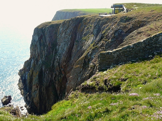 Cliff-edge fort in Carrigans UpperCliff-edge fort · 136 yd
 KilnKiln, lime · 335 yd
 RoadRoad, road/trackway · 1247 yd
 Brother WalfridMemorial · 1.3 mi
 Ballymote CastleCastle · 1.3 mi
 RathdoonyCastle, motte · 1.4 mi
 ElderElder · 3.1 mi
 James MorrisonMemorial · 3.2 mi
 European ashEuropean ash · 3.6 mi
 Caves of KeshCave · 4.0 mi
 School CaveCave · 4.0 mi