What is recorded here
Raised circular area (int. diam.28m) enclosed by a narrow, low bank of earth and stone. Original entrance not recognisable. Known locally as a 'Fort' but not marked as same on any OS ed. It may in fact be a landscape feature.
From the National Monuments Service (Archaeological Survey of Ireland) record CV033-011
The monument record does not grant public access. Check the route and ask the landowner before entering private land.
- What survives
- Recorded monument
Places near here
Photo credits
- National Inventory of Architectural Heritage
- Christopher Kirk, Geograph · Creative Commons Attribution-ShareAlike 2.0
- Kieran Campbell, Geograph · CC BY-SA 2.0
- Kieran Campbell, Geograph · Creative Commons Attribution-ShareAlike 2.0
- Oliver Dixon, Geograph · CC BY-SA 2.0
- Sitomon, Wikimedia Commons · CC BY-SA 2.0
- P Webb, Geograph · CC BY-SA 2.0
- Maker named on the Wikimedia Commons picture page · CC BY-SA 2.5
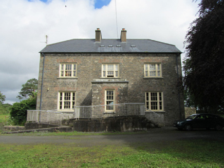 rectory/glebe/vicarage/curate's house703 ydBirthplace of General Philip SheridanMemorial · 733 yd
 Killinkere Church of Ireland ChurchChurch/chapel · 1146 ydBeagh GlebeMountain / peak · 1418 ydCarraig-na-SasanacNamed rock · 2.0 mi
 EnaghMountain / peak · 2.2 mi
 Windmill in Enagh (crossbane Ed)Windmill · 2.2 mi
 IndicatedHoly well · 2.7 mi
 Brothers GravesVisitor information · 3.4 mi
 European Yew4.0 mi
 Welcome to VirginiaVisitor information · 4.1 mi
 Sessile Oak4.2 mi
More archaeology and monuments in County Cavan · All of County Cavan
What do you know about this place?