What is recorded here
On N bank of River Ogeen. Roofless 3-storey rectangular mill (int. 13.62m E-W; 5.68m N-S), S elevation of 4 bays. Window opes have wooden lintels. Wheel-pit (Wth 1.94m; D 1.94m) alongside E wall; contains wooden axle (diam. 43.5cm; L 3.1m) of breastshot waterwheel, cast-iron gudgeon and eight iron sockets for wooden…
Read the whole record
From the National Monuments Service (Archaeological Survey of Ireland) record CO017-099
Places near here
Photo credits
- National Inventory of Architectural Heritage
- Algirdas at Lithuanian Wikipedia, Wikimedia Commons · Public domain
- Veggiebenz, Wikimedia Commons · CC BY-SA 3.0
- Mike Searle, Wikimedia Commons · CC BY-SA 2.0
- Miguel Angel Masegosa Martínez, Wikimedia Commons · CC BY 2.0
- Happyrains4118, Wikimedia Commons · CC BY-SA 4.0
- CaitNi, Wikimedia Commons · CC BY-SA 4.0
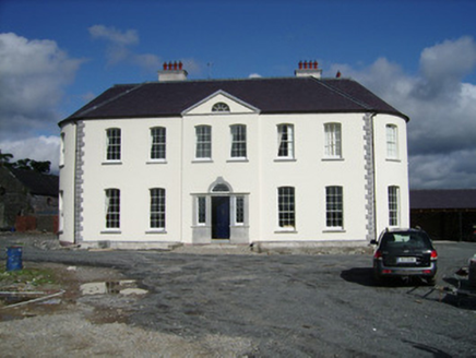 Carker HouseCountry house · 533 yd
 farmyard complex550 yd
 Grave YardGraveyard · 691 yd
Explorer Tom Graveyard in Garryhintoge is approached by a short passage and enclosed by an overgrown bank. Headstones from the 18th century stand near the ruin of the parish church of Aglish. It's still in use, so be polite!
CalvaryMonument · 1042 yd Pedunculate Oak1.8 mi
 Doneraile CourtFoot bridge · 1.9 mi
 CastlepookCastle · 1.9 mi
 Castle Pook (in Ruins)Castle, tower house · 1.9 mi
Explorer Tom Castle Pook was built by Geoffrey the Red way back in 1380. A man died there in 1748 aged 106! That is either incredible health or really bad bookkeeping. Either way, it’s a spooky little rock-topper.
 Sweet Chestnut1.9 mi
 Doneraile HouseHeritage attraction · 2.2 miSmith's WellSpring · 2.3 mi
 CarrigeenamronetyMountain / peak · 6.1 mi
More archaeology and monuments in County Cork · All of County Cork
What do you know about this place?Tap to add a comment or ask a question