
What is recorded here
Approached by short passage from road to W. Subrectangular graveyard (c. 90m E-W; c. 68m N-S) enclosed by overgrown stone-faced earthen bank; the 1842 OS 6-inch map shows graveyard confined to SW corner of area (c. 50m E-W; c. 40m N-S). Interior rises gently towards ruin of parish church of Aglish (14421) at centre. In use, overgrown with coarse grass. Headstones dating from 18th century noted; low uninscribed gravemarkers to E of church.
The above description is derived from the published 'Archaeological Inventory of County Cork. Volume 4: North Cork' (Dublin: Stationery Office, 2000). In certain instances the entries have been revised and updated in the light of recent research.
Date of upload/revision: 14 January 2009
A local ancient tomb; wider significance not recorded.
The monument record does not grant public access. Check the route and ask the landowner before entering private land.
- What survives
- Recorded monument
Places near here
 Aglish Church (in Ruins)Church · 17 yd
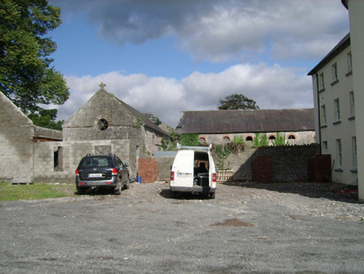 farmyard complexfarmyard complex · 555 yd
 IndicatedEnclosure · 1434 yd
 Church (Site of)Church · 1635 yd
 Brough WoodWood · 1.4 mi
 CastlepookCastle · 1.5 mi
 Castle Pook (in Ruins)Castle, tower house · 1.5 mi
 Pedunculate OakPedunculate Oak · 1.9 mi
 Smith's WellSpring · 2.2 mi
 Doneraile HouseHeritage attraction · 2.2 mi
 Anne's Grove GardensHeritage attraction · 4.3 mi
 Coolfree MountainMountain / peak · 4.9 mi
Other information
Photo: Credit not shown in the picture search · Rights wording not checked; contact us if this picture should be removed