What is recorded here
Situated in undulating grassland on land sloping gently to the NE. A large circular area (dims. 84.2m N-S; 81.5m E-W) defined by a low earth and stone bank (Wth 3.4m; int. H 0.9m; ext. H 0.4m) with a gap (Wth 1.7m) in the NE quadrant. The S portion of the enclosure has been truncated and falls sharply to a ledge with a bank which again drops sharply to a trackway in a small wooded area. The interior slopes gently to the NE. There is a bullaun stone (TN011-031002) embedded in the bank in the NW quadrant. The large enclosure, the presence of the bullaun and the townland name of Cappakilleen suggest that this is an ecclesiastical enclosure. Vol. 1 - North Tipperary' compiled by Jean Farrelly and Caimin O'Brien (Dublin: Stationery Office, 2002).
Situated in undulating grassland on land sloping gently to the NE. A large circular area (dims. 84.2m N-S; 81.5m E-W) defined by a low earth and stone bank (Wth 3.4m; int. H 0.9m; ext. H 0.4m) with a gap (Wth 1.7m) in the NE quadrant. The S portion of the enclosure has been truncated and falls sharply to a ledge with a bank which again drops sharply to a trackway in a small wooded area. The interior slopes gently…
From the National Monuments Service (Archaeological Survey of Ireland) record TN011-031001
The monument record does not grant public access. Check the route and ask the landowner before entering private land.
- What survives
- Recorded monument
Places near here
Photo credits
- National Inventory of Architectural Heritage
- Mike Searle, Geograph · CC BY-SA 2.0
- GerardM, Wikimedia Commons · CC BY-SA 2.1 es
- Mike Searle, Wikimedia Commons · CC BY-SA 2.0
- Dylan Moore, Geograph · CC BY-SA 2.0
- David P Howard, Geograph · Creative Commons Attribution-ShareAlike 2.0
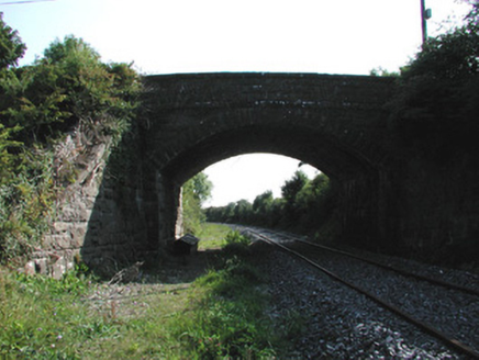 bridge1059 yd
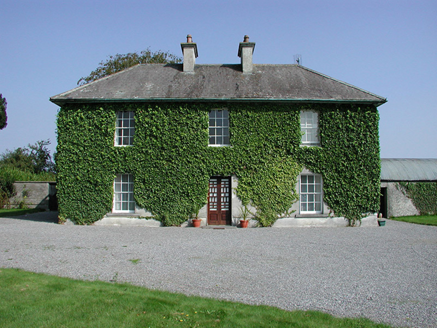 Rockford HouseFarm house · 1140 yd
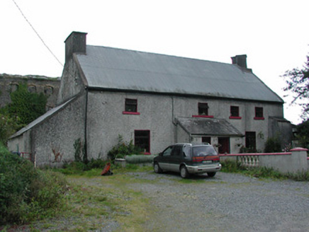 worker's house1.5 mi
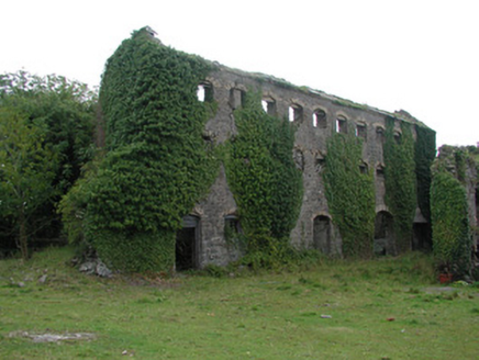 distillery1.5 miThomas MacDonagh Heritage CentreMuseum · 2.7 miMacDonagh HouseMemorial · 2.7 mi
 KIllaleigh CastleBawn · 4.5 mi
 White Mulberry5.0 miWhite Mulberry5.1 mi
 Knockane CastleCastle · 6.2 mi
 BorrisokaneHistoric town · 7.0 mi
 Church (in Ruins)Graveyard · 11 mi
More archaeology and monuments in County Tipperary · All of County Tipperary
What do you know about this place?