What is recorded here
Situated on top of a hill within the Rossmore estate. This is a circular grass-covered area (diam c. 84m) enclosed by a low bank (int. H 0.25m; ext. H c. 1m), with an entrance (Wth 3.3m) at the SW. There is no evidence of an outer fosse.
From the National Monuments Service (Archaeological Survey of Ireland) record MO009-072
The monument record does not grant public access. Check the route and ask the landowner before entering private land.
- What survives
- Recorded monument
Places near here
Photo credits
- National Inventory of Architectural Heritage
- Dieglop, Wikimedia Commons · CC BY-SA 4.0
- Walking with a phone, Wikimedia Commons · CC BY-SA 4.0
- Willow, Wikimedia Commons · CC BY 2.5
- Eric Jones, Geograph · CC BY-SA 2.0
- Raymond Okonski, Wikimedia Commons · CC BY-SA 2.0
- Brian Lenehan, Geograph · CC BY-SA 2.0
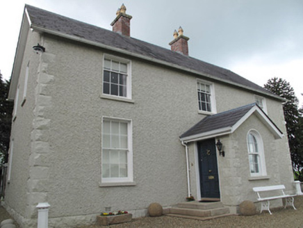 Camla HouseSteward's house · 125 yd
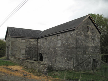 Camla HouseMill (water) · 286 yd
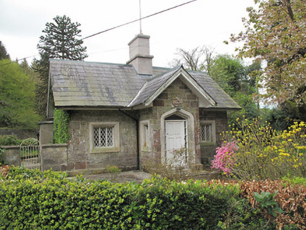 Camla HouseGate lodge · 616 yd
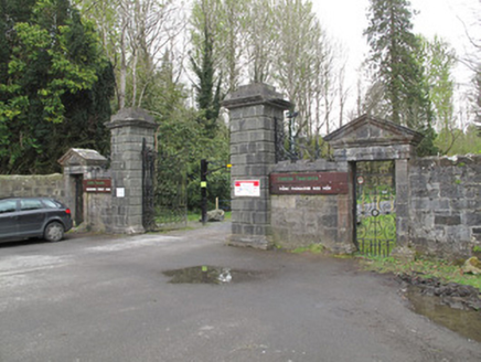 Rossmore CastleGates/railings/walls · 637 yd
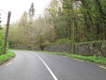 Rossmore CastleDemesne walls/gates/railings · 637 yd
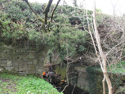 Ballyleck BridgeBridge · 695 yd
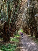 Rossmore Forest ParkWood · 1530 yd
 Rossmore MausoleumHeritage attraction · 1.3 mi
 European ash1.5 mi
 Dawson MonumentMonument · 1.5 mi
 Rossmore MonumentMemorial · 1.6 mi
 Old Cross SquareMonument · 1.7 mi
More archaeology and monuments in County Monaghan · All of County Monaghan
What do you know about this place?