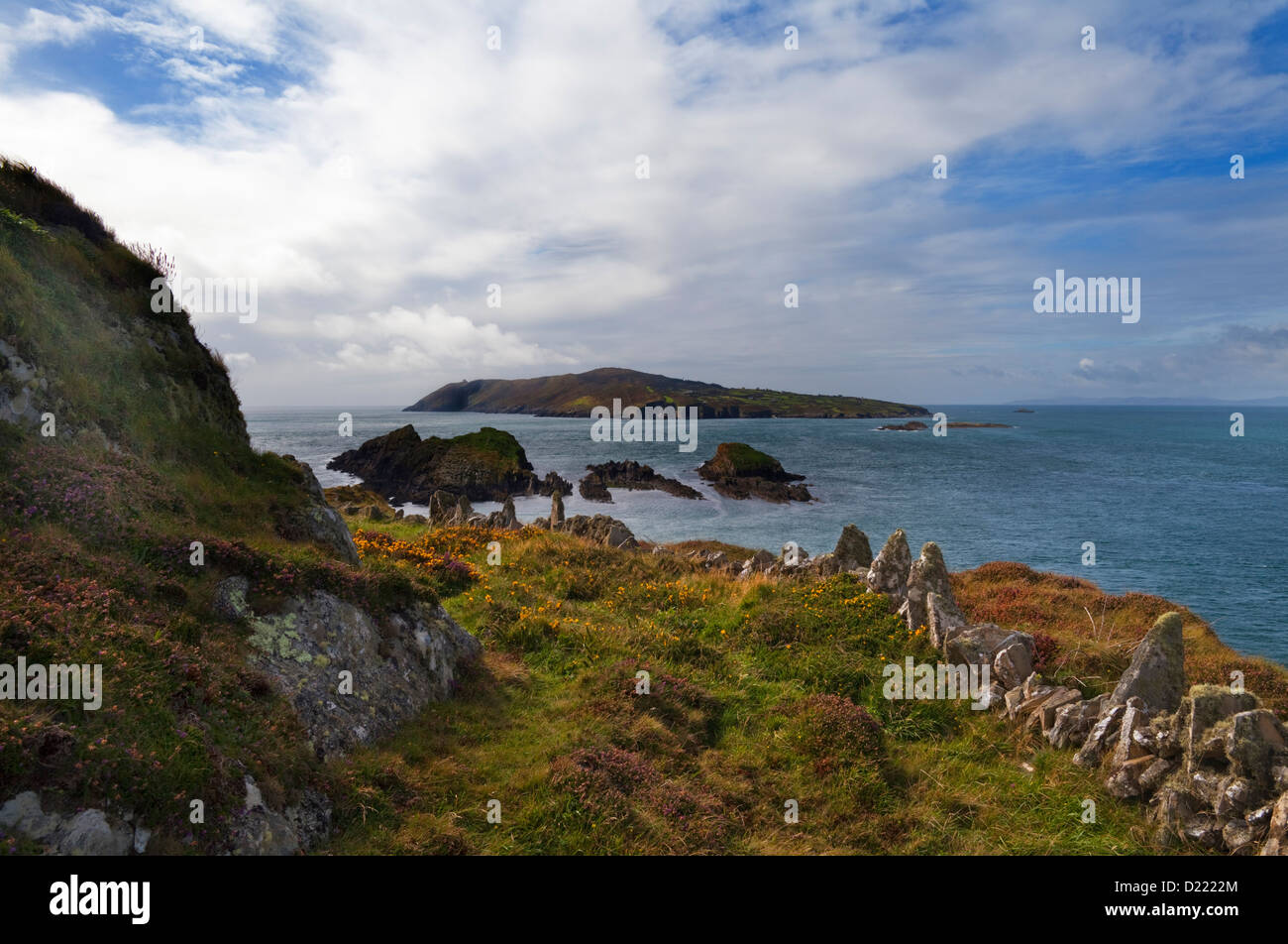
What is recorded here
In pasture, atop hillock. Circular area (diam. 30m) enclosed by collapsed stone wall; some rebuilding of upper courses; shallow external fosse to SW. Break in wall to SW (Wth 1.5m). Running up to the site are four radial stone-faced field boundaries.
Myler (1998, 113) records 'that there are two flagstones of about 12 ft. in length lying on the SSE side which were possibly entrance stones. There is a tradition of a Man-made underground passage within this fort and a story of a boy going down into it and returning with some cinders. There is evidence of burnt stones near the fort'.
The above description is derived from the published 'Archaeological Inventory of County Cork. Volume 1: West Cork' (Dublin: Stationery Office, 1992). In certain instances the entries have been revised and updated in the light of recent research.
Date of upload/revision: 29 January 2013
The monument record does not grant public access. Check the route and ask the landowner before entering private land.
- What survives
- Recorded monument
Places near here
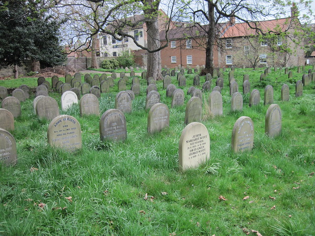 Burial ground in DrombrowBurial ground · 1073 yd
 Clapper bridge in Derryginagh EastClapper bridge · 1224 yd
 Enclosure in Glanbannoo UpperEnclosure · 1548 yd
 Drombrow Housecountry house · 1630 yd
 Francis O'Neill PlaqueMemorial · 1.5 mi
 Trawlebane WalkWalking route · 1.7 mi
 Baugorm Castle (Site of)Castle, unclassified · 2.1 mi
 Graveyard in TownlotsGraveyard · 2.8 mi
 Ballylickey BayBay · 2.9 mi
 Tourist OfficeVisitor information · 2.9 mi
 Castle (in Ruins)House, fortified house · 3.0 mi
 Seskin ViewViewpoint · 3.2 mi
Other information
Photo: Credit not shown in the picture search · Rights wording not checked; contact us if this picture should be removed