What is recorded here
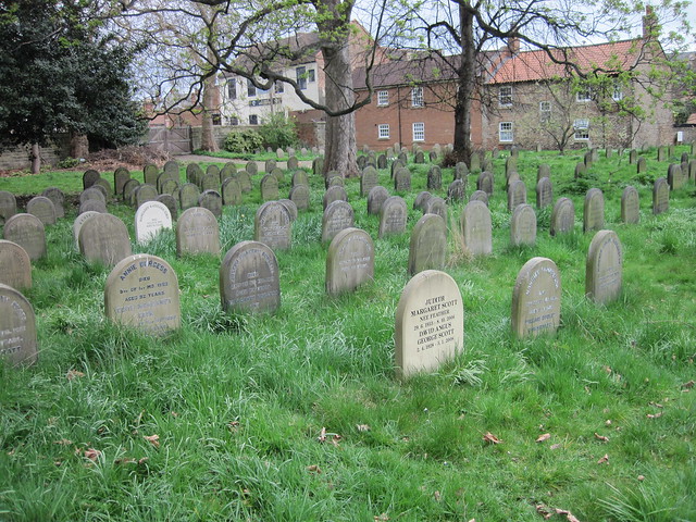
In pasture, on an E-facing slope. According to Myler (1998, 115-16), the site of a burial ground, known locally as the 'Russian grave' is marked by a lone ash tree which is on the line of a levelled 'bank'. Stones piled against the N field boundary of the field may have been grave-markers (ibid.). There are no visible remains of this burial ground though the ash tree and the possible grave-markers were noted.
The above description is derived from 'The Archaeological Inventory of County Cork. Volume 5' (Dublin: Stationery Office, 2009).
Date of upload: 22 December 2009
A local ancient tomb; wider significance not recorded.
This remains an important historical record, but the official description says the monument is no longer visible or has been destroyed. The monument record does not grant public access. Check the route and ask the landowner before entering private land.
- What survives
- No visible remains or recorded as destroyed
Places near here
 Church in InchicloghChurch · 703 yd
 Country house in InchicloghCountry house · 780 yd
 Cliff-edge fort in DromdoneenCliff-edge fort · 1055 yd
 IndicatedFairy fort / stone ringfort · 1073 yd
 Trawlebane WalkWalking route · 2.0 mi
 Francis O'Neill PlaqueMemorial · 2.1 mi
 Ballylickey BayBay · 2.3 mi
 Castle (in Ruins)House, fortified house · 2.3 mi
 Baugorm Castle (Site of)Castle, unclassified · 2.5 mi
 Graveyard in TownlotsGraveyard · 2.6 mi
 Tourist OfficeVisitor information · 2.7 mi
 Eagle PointHeadland · 2.8 mi
Other information
Photo: Credit not shown in the picture search · Rights wording not checked; contact us if this picture should be removed