
What is recorded here
In rough pasture, on S-facing slope. Roughly circular area (88m N-S; 96.5m E-W) enclosed by dry stone wall (H 1.7m; Wth 2.1m) with rubble core E->W; stone field fence W->E. Entrance to SSW (Wth 5m), blocked by rough stone wall; break in wall to NW. Interior divided in half by stone wall running N-S. Stone cross…
Read the whole record
From the National Monuments Service (Archaeological Survey of Ireland) record CO102-024002
Places near here
Photo credits
- Maker not stated on source page, in.pinterest.com
- Maker not stated on source page, www.alamy.com
- Maker not stated on source page, www.gettyimages.com
- Maker not stated on source page, www.dreamstime.com
- Kmcnamee, Wikimedia Commons · CC BY-SA 4.0
- National Inventory of Architectural Heritage
- Peter Ribbans, Wikimedia Commons · CC BY-SA 2.0
- Maker not stated on source page, www.pinterest.com
- Mick Garratt, Wikimedia Commons · CC BY-SA 2.0
- Richard Webb, Geograph · CC BY-SA 2.0
 Decorated stone in CaheravartDecorated stone · 29 yd
Explorer Tom Decorated stone in Caheravart is in a children's burial ground, but it looks like a collapsed beehive hut. A fiddler…
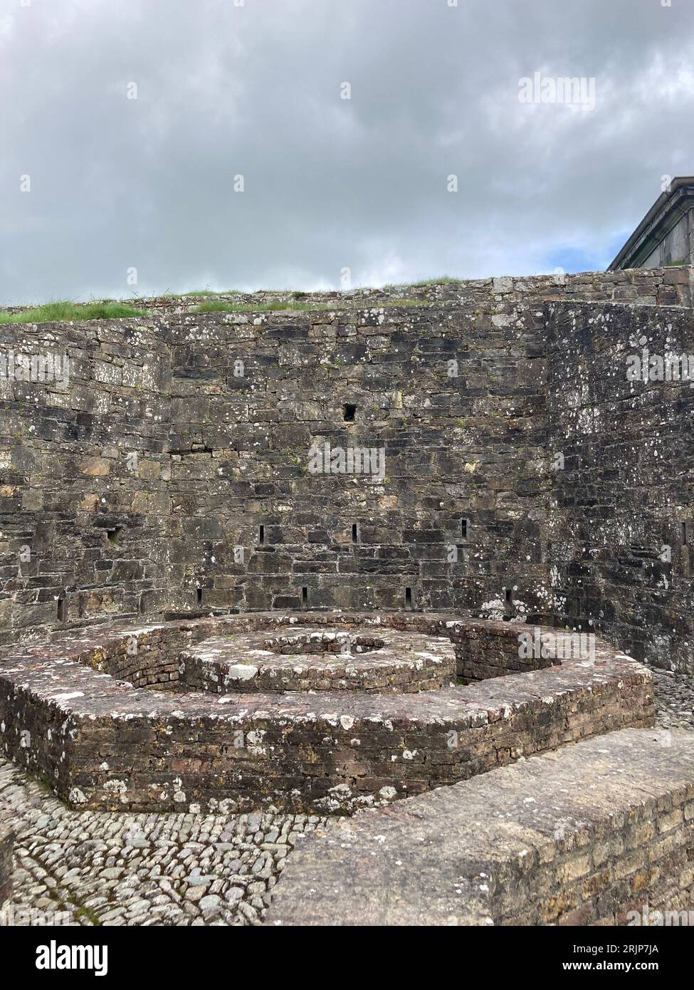 Enclosure in BarreesEnclosure · 1181 yd
Explorer Tom Enclosure in Barrees is an oval of upright stones that looks like it lost a bet with a priest. The double line of walls…
 Standing stoneStanding stone, pair · 1353 yd
Explorer Tom A pair of standing stones in Barrees are hanging out together inside a large enclosure. One is standing up and one is…
 Standing stone in Inches (bear By.)Standing stone · 1479 yd
Explorer Tom Standing stone in Inches stands rectangular and upright on a rough grazing slope. It’s about two metres high and…
 Páirc na hAoraí, UrhanGAA ground · 1.5 mi
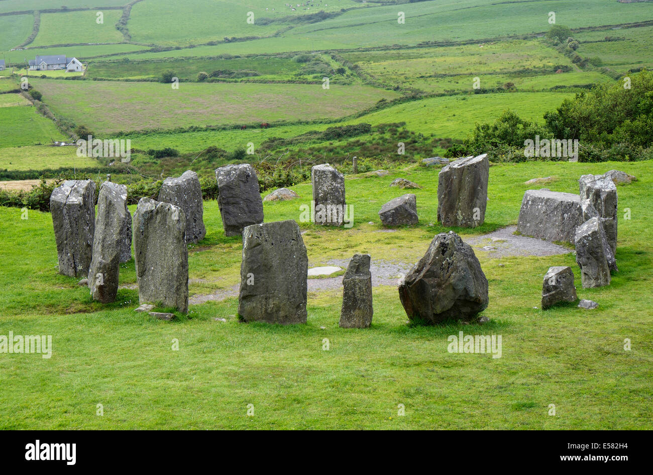 Anomalous stone group in CrumpaneAnomalous stone group · 1.5 mi
Explorer Tom Anomalous stone group in Crumpane would tell its younger self to stop trying so hard to stand straight in the bog. Two…
 garda station/constabulary barracks1.6 mi
Explorer Tom Garda station in Eyeries, County Cork is now a private house but still feels like you need to show an ID badge. Built…
 Ballycrovane Ogham StoneVisitor attraction · 1.7 mi
Explorer Tom The Ballycrovane Ogham Stone claims King Arthur once leaned on it while complaining about his back, which nobody can…
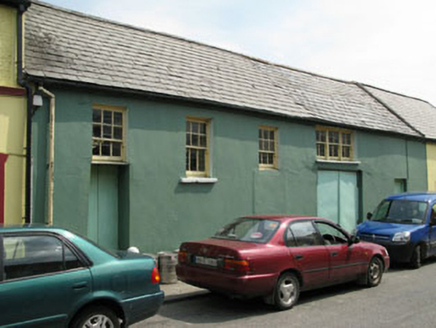 workshop1.7 mi
Explorer Tom Workshop in Eyeries has windows placed like it lost a bet with geometry. It’s still standing while others got…
 IllaunaraghteraIslet · 2.0 mi
Explorer Tom Illaunaraghtera in County Cork was once visited by a poet who fell into a ditch and called it artistic inspiration.…
 Miskish MountainMountain / peak · 2.7 mi
Explorer Tom Miskish Mountain in Cork has a name that basically means 'slightly damp and mysterious' if you squint hard enough at…
 KnockgourMountain / peak · 5.3 mi
Explorer Tom Knockgour rates its visitors on a scale of one to ten, based mostly on how loud they are. It gives a solid two stars to…
More archaeology and monuments in County Cork · All of County Cork

What do you know about this place?Tap to add a comment or ask a question