What is recorded here
Indicated on the OS 6-inch map as single exposure of outcropping rock. There were two upright slabs set at right-angles to each other with two others lying nearby. These remains were removed in the course of land reclamation c. 20 years ago (local information). A single slab is lying on the fence to the W and the others were placed in the SE corner of the field. While the exact nature of the monument is unknown the possibility that it could represent the last vestiges of a megalithic tomb cannot be ruled out.
Compiled by: Paul Walsh
Date of upload: 7 October 2011
A portal dolmen; likely dating to the Neolithic or early Bronze Age. Its significance lies in its megalithic construction and possible ritual or funerary function, though its removal during land reclamation has limited further study.
The monument record does not grant public access. Check the route and ask the landowner before entering private land.
- What survives
- Recorded monument
Places near here
 Bawn in DoonforeBawn · 1000 yd
 LissgallonFairy fort / stone ringfort · 1026 yd
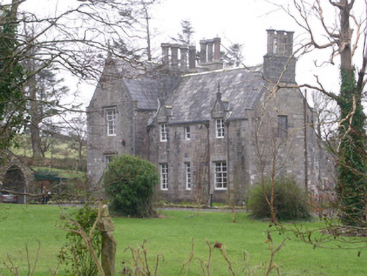 The Rectoryrectory/glebe/vicarage/curate's house · 1214 yd
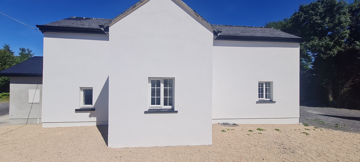 Enclosure in CloghcorEnclosure · 1239 yd
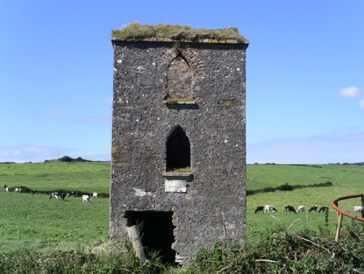 John's Portbuilding misc · 1345 yd
 Forester's WoodForest · 1.1 mi
 Castle (Site of)Castle, unclassified · 1.2 mi
 Church Hill WoodWood · 1.3 mi
 Ardtermon StrandBeach / strand · 1.7 mi
 Drumcliff BayBay · 2.2 mi
 Yellow StrandBeach / strand · 2.3 mi
 Coastguard StationRuins · 2.6 mi